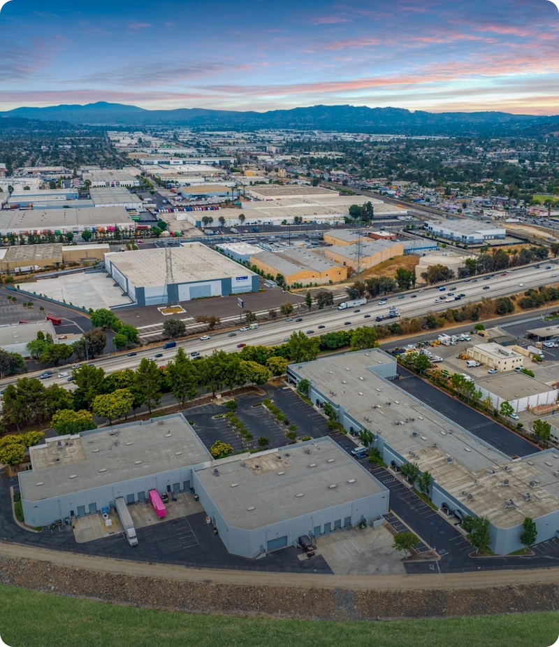



Aerial visual documentation and site progress tracking provided by Vertical Space Imaging, LLC for contractors, developers, architects, and project stakeholders.
Capabilities & Services Offered:
-
Construction site progress documentation captured across scheduled project phases.
-
End-to-end 2D drone mapping, orthomosaic imaging, and topographic contour generation.
-
Volumetric measurements for site tracking and earthwork estimations.
-
Visual assets to assist teams in tracking project timelines, safety, and budget adherence.
Operations based in Riverside, Alabama, serving Birmingham and surrounding regional site projects.
Location
Fequently asked questions
What mapping and survey support deliverables are provided?
Deliverables include high-resolution orthomosaic maps, 2D site maps, topography contours, and volumetric reports.
How do progression flights assist construction stakeholders?
Regular aerial documentation keeps managers, investors, and contractors aligned on progress timelines without requiring constant physical site visits.