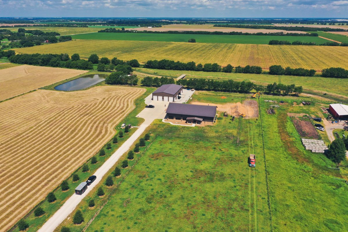

Geospatial data collection, GIS mapping, and high-resolution orthomosaic imaging provided by AGL400 Aerial Media for commercial real estate, construction, and infrastructure teams.
Capabilities & Services Offered:
-
Orthomosaic site map creation and GIS data capture.
-
High-altitude overview capture up to 400 feet AGL (Above Ground Level).
-
Data deliverables for public sector, emergency ops, and commercial planning.
Operations based in Greater Houston, TX. FAA Part 107 certified and fully insured.
Location
Fequently asked questions
What mapping services are available?
Offerings include GIS data collection, orthomosaic aerial maps, and site overview imaging.
What ceiling height do you operate under?
Flights operate up to the standard FAA ceiling of 400 feet Above Ground Level (AGL).