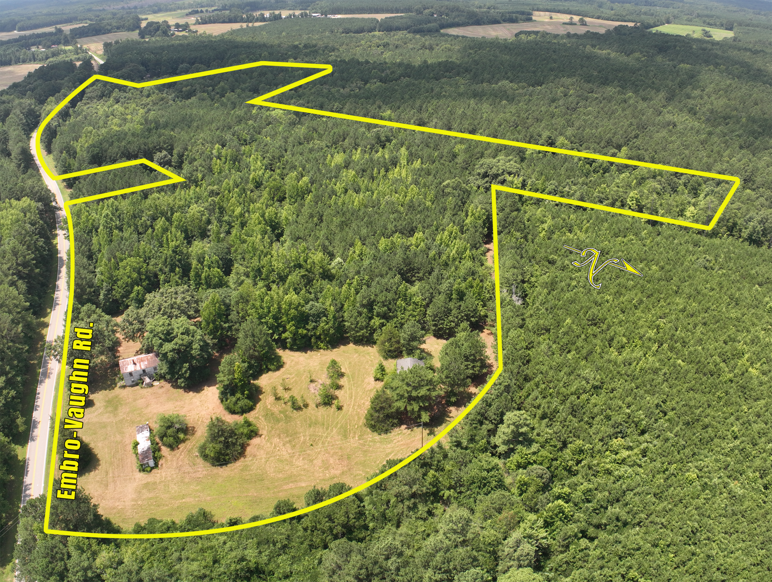

Aerial imaging services provided by Aerial17 Commercial Drone Services featuring property boundary markings and composite top-down views for commercial and land listings.
Capabilities & Services Offered:
-
Aerial photography featuring suggested property boundary lines marked over images.
-
Visual highlight overlays identifying surrounding businesses, roads, and access points.
-
Top-down composite imagery for land parcels, shopping complexes, and commercial sites.
-
Media preparation for commercial real estate marketing and investment presentations.
-
Servicing Northeast North Carolina and Virginia.
Location
Fequently asked questions
What visual features can be added to property aerials?
Images can feature suggested property boundary overlays and callouts for surrounding businesses and property access points.
Are top-down composite views available?
Yes, top-down composite aerial imagery can be provided for complete property overviews.