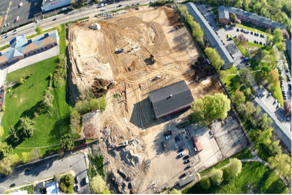

Panoramic Drone Services in Pennsylvania provides advanced drone solutions to monitor construction progression efficiently, safely, and accurately. Our drone services enable construction managers, project stakeholders, and engineers to track ongoing work, document progress, and evaluate compliance without the need for constant on-site visits. Aerial drone monitoring reduces the need for manual inspections in hazardous areas and provides comprehensive visual data in a timely manner.
Our team captures high-resolution images and cinematic videos at regular intervals, offering a clear visual record of project milestones, site layout, and equipment utilization. Drone footage helps identify potential delays, safety concerns, or construction issues before they escalate, ensuring proactive management. Additionally, our aerial mapping and photogrammetry services can provide volumetric measurements, site models, and orthomosaic maps to support planning, material allocation, and reporting.
By integrating aerial documentation with traditional construction management workflows, Panoramic Drone Services enhances transparency, accountability, and communication between stakeholders. Our services are suitable for residential, commercial, and infrastructure projects of all sizes. With precise and professional aerial imagery, our clients can make informed decisions and maintain complete oversight of construction progress.
Please contact Panoramic Drone Services for project-based quotations.