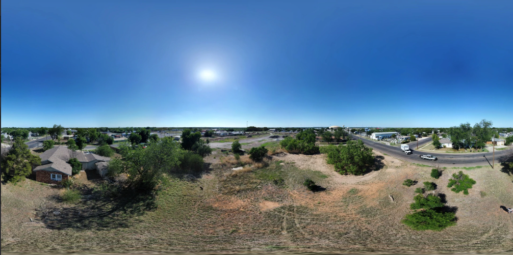

At San Angelo Aerial in Texas, we specialize in Aerial Mapping services that combine precision, technology, and efficiency. Using state-of-the-art drones and advanced mapping software, we capture high-resolution aerial imagery to produce accurate, data-rich maps tailored to your project’s specific needs.
Our aerial mapping solutions are ideal for real estate development, construction planning, agriculture, and land surveying, providing detailed topographical insights and true-to-scale visuals. With centimeter-level accuracy, you gain the ability to measure distances, calculate areas, and assess terrain features without setting foot on-site.
Every map is processed and refined using industry-grade photogrammetry tools, ensuring quality, consistency, and actionable data. This empowers engineers, architects, and project managers to make informed decisions faster—reducing field time, improving safety, and streamlining workflows.
Whether you need elevation models, contour maps, or orthomosaic imagery, San Angelo Aerial delivers professional, dependable mapping solutions to support your goals.
💲 Pricing is custom—contact San Angelo Aerial in Texas today for a personalized quote.