from establishing a general grade of an area/corridor or creating detailed maps of every square foot, our drone mapping services will make it faster, safer and cost efficient to gather the data you need.
Our drones record data in challenging environments such as cliffs or remote areas that are surrounded by tough terrain, allowing your staff to safely review. Such maps are used by energy companies, telecommunications and infrastructure construction and maintenance.
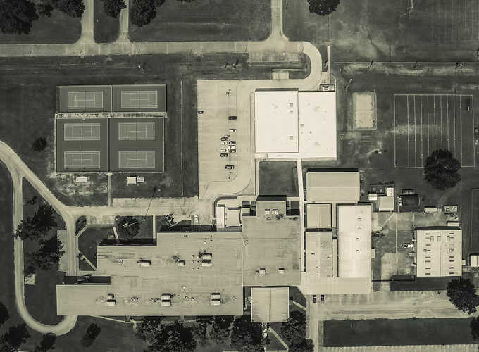
With our rapid aerial image capturing of high-resolution images we can create detailed 2D & 3D renderings of existing structures and landscapes using photogrammetry; a method of taking measurements using photographs.