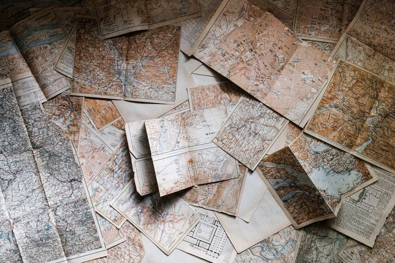

Drone Orthophoto Mapping and 3D Model Generation use aerial drone imagery that is 'stitched' together digitally, and is corrected in relationship to the earth's surface, allowing for precise measurements on images transposed on maps such as Google Maps. However, these drone images are generally produced in higher resolution offering very close detail.
This process may be repeated or scheduled as desired by the contractor, to record progress during different construction or work phases.
This process can be valuable to private or commercial construction.
Maps with sufficient detail may be rendered to produce 3D models.
About aerial17:
Aerial imaging can add value to your project. Aerial17 can help.
Aerial17 is a US Veteran-owned small business located in Eastern North Carolina.
The owner and operator is an insured FAA certified Part 107 (drone) Pilot and holds a North Carolina Commercial UAS Operators Permit.
Aerial17 currently provides services to smaller scale aerial imagery and video projects to include;
Outdoor Events, private and public
Property mapping for landscape planning
Construction progress monitoring
Personal and professional real estate sales and development
Insurance claim imagery for storm and fire property damage
Practical use of sUAV (drone) imagery is constantly developing.
So if you have an idea or specific project need that you believe will benefit from aerial imaging and video, contact Aerial17, and we’ll discuss the possibilities.
Travel upto 50 Miles