Drone Job Categories
-
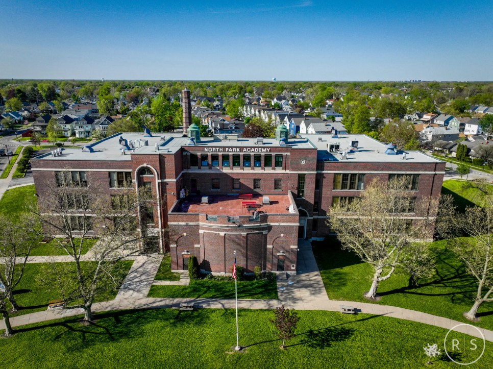
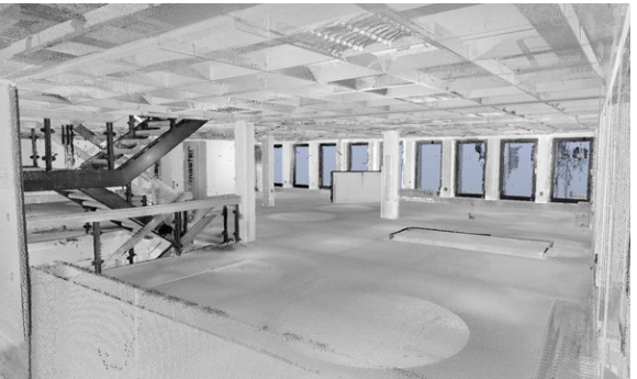
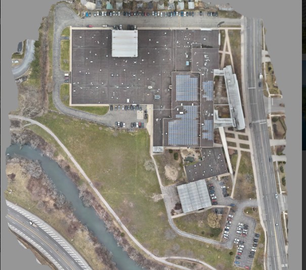
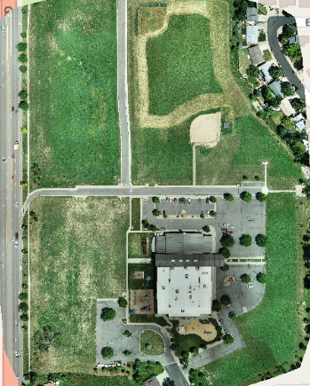
Aerial Documentation
-
Aerial Inspections
-

Aerial Photography
-
Aerial Videography
-

Birthdays & Anniversaries
-

Building & Structural Inspections
-
Commercial
-

Commercial Real Estate
-

Concerts & Festivals
-

Construction Site Monitoring
-

Corporate Events
-

Cultural Festivals
-

Dam & Reservoir Surveillance
-

Destination Marketing
-

Disaster Assessments
-

Emergency Services
-

Energy & Utilities Monitoring
-

Environmental Impact Studies
-

Events & Ceremonies
-

Forest Surveys
-
Geo Mapping
-

Historical Properties
-
Industrial Photography
-

Infrastructure & Construction
-

Infrastructure Assessments
-

Insurance Inspections
-

Investment Property
-

Land & Topographic Surveys
-

Large Estates & Mansions
-

Livestock Surveillance
-

Mapping & GIS
-
Marketing
-

Mining & Quarry Inspection
-

Mixed Use Real Estate
-

Orthomosaics
-

Photogrammetry
-

Public Gatherings & Rallies
-

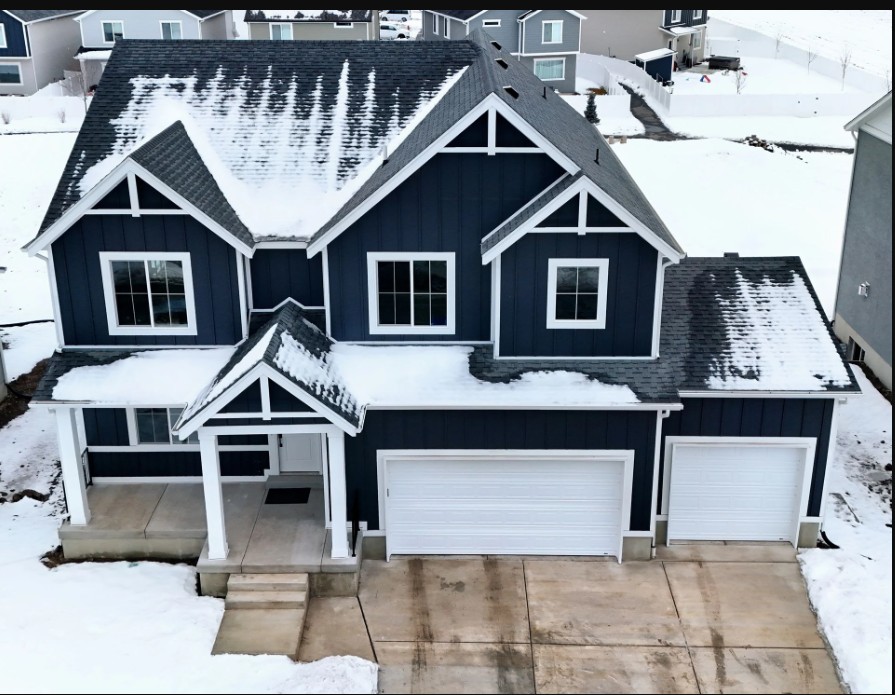
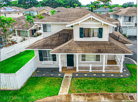
Real Estate
-

Real Estate Photography
-

Residential Real Estate
-

Resort & Hotel Promotion
-

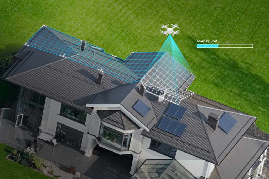
Roof Inspections
-
Sales-Oriented Drone Videography
-

Search & Rescue
-
Solar Inspection & Survey
-
Still Images
-

Surveys & Inspections
-
Topographic Survey
-

Tower Inspection
-

Vacant Land
-

Videography
-
Volumetric Analysis
-

Weddings
Drone Certifications
-

FAA Part-107 Licensed Drone Pilot #5090564
Services

0 /5.0
User review
Starting from
$0.00

0 /5.0
User review
Starting from
$0.00
0 /5.0
User review
Starting from
$0.00
0 /5.0
User review
Starting from
$0.00
0 /5.0
User review
Starting from
$0.00
0 /5.0
User review
Starting from
$0.00

0 /5.0
User review
Starting from
$0.00
0 /5.0
User review
Starting from
$0.00
0 /5.0
User review
Starting from
$0.00
0 /5.0
User review
Starting from
$0.00

0 /5.0
User review
Starting from
$0.00

0 /5.0
User review
Starting from
$0.00
- 1
- 2
Education
-
Bachelors of Science in Software Engineering