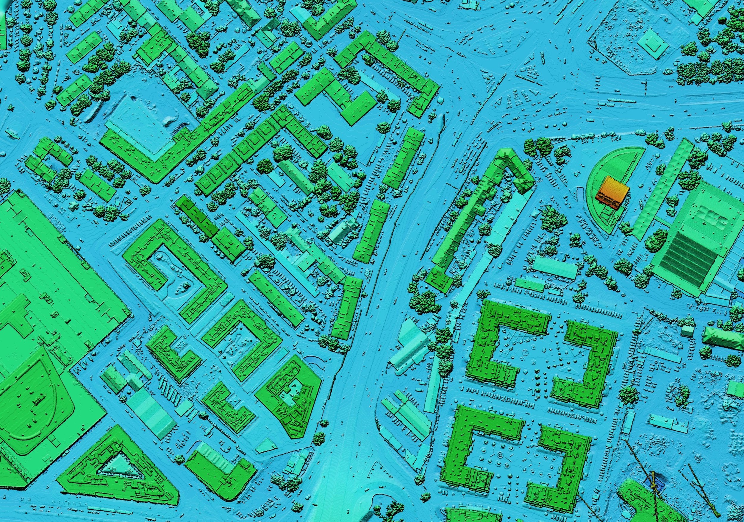

At Aragondroneworks, we offer advanced drone LiDAR data gathering services that utilize state-of-the-art airborne laser scanning technology. With this approach, we capture precise three-dimensional information about the Earth's surface and structures. Our drones, equipped with high-performance LiDAR sensors, emit rapid laser pulses toward the ground and measure the time it takes for the light to bounce back. As a result, this cutting-edge method allows us to produce detailed digital elevation models. In addition, we can create 3D point clouds and high-resolution maps with exceptional accuracy.
Our comprehensive LiDAR solutions cater to a wide range of applications. These include topographical surveys, vegetation analysis, infrastructure inspections, and construction monitoring. By leveraging drone-based LiDAR mapping, we enhance the accuracy and efficiency of data collection. As a result, you can make informed decisions based on reliable, up-to-date insights.
Unlike traditional ground surveying methods, our LiDAR data collection process drastically reduces time on-site while improving safety. This is particularly true in hard-to-access or hazardous terrain. Whether you need to map dense vegetation, monitor erosion patterns, or assess flood risk zones, we can help. Furthermore, we can generate accurate as-built models for engineering projects. Our team has the expertise and equipment to deliver results you can trust.
We work closely with surveyors, engineers, environmental consultants, and construction teams. Our goal is to tailor each project's scope, flight planning, and data deliverables to your specific needs. Also, our deliverables are compatible with industry-standard GIS and CAD software. This makes integration into your existing workflows seamless.
Choose Aragondroneworks for your drone LiDAR data gathering services and discover how our innovative solutions can elevate your projects. With a commitment to precision, efficiency, and reliable insights, we help you achieve your data collection goals faster and more cost-effectively than conventional methods.
Contact us today to learn more about our drone LiDAR data gathering services. Let us show you how we can support your next mapping, surveying, or inspection project.