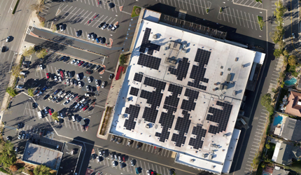


Advanced spatial mapping and volumetric measurements utilizing RTK positioning to provide precise terrain data, elevation models, and grading estimates.
Capabilities & Services Offered:
-
High-resolution RTK (Real-Time Kinematic) aerial mapping for survey-grade spatial accuracy.
-
2D and 3D terrain scanning for comprehensive topography views.
-
Digital Surface Model (DSM) creation for civil planning and site analysis.
-
Material volumetric measurements and earthwork grade estimations.
Operations provided under Mapping services. Access the Customer Portal for survey quotes and dataset integration.
Location
Fequently asked questions
How accurate are the mapping and surface elevation measurements?
Data is collected using high-resolution RTK mapping technology to ensure precise spatial positioning, Digital Surface Models, and grade estimates.
Can this service calculate material volume and earthwork estimates?
Yes, services include volumetric measurements and grade estimations for site management and excavation planning.