
WE PROVIDE A UNIQUE PERSPECTIVE..."
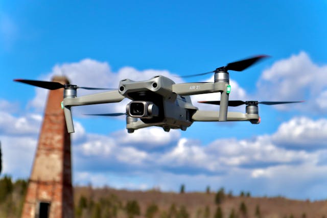
COMPLETE DRONE SERVICES
Aerial Photography / Videography / Mapping / Site Monitoring
We offer high-quality aerial imaging and mapping services using advanced drone technology. Whether you need stunning aerial photography, 4K videography, detailed site monitoring, or precision mapping, we deliver professional results for industries such as real estate, construction, agriculture, and infrastructure development.
Pilot-in-Command Services (License, Certifications, etc.)
Our team of FAA-certified drone pilots ensures safe, legal, and professional drone operations for any project. We provide:
✅ LAANC Authorizations – Fast-tracked airspace approvals for seamless drone flights.
✅ Manual Airspace Authorizations – Custom authorizations for complex flight zones.
✅ Part 107 Flight Operation Waivers – Approved for night flights, operations over people, and other regulated areas.
✅ On-Site Point of Contact – Dedicated support to ensure smooth drone operations.
✅ FAA Liaison for Mission Management – Handling all regulatory compliance for your project.
Mission Planning & Flight Execution
We integrate with FlightHub 2, DroneDeploy, DroneLink, Pix4D, and other top-flight software to execute customized aerial missions for your business. Simply plan your mission remotely, and we’ll take care of the flying with precision and efficiency.
RTK Correction Data Survey
Our drones utilize RTK (Real-Time Kinematic) technology for highly precise surveys, ensuring millimeter-level accuracy for construction, infrastructure, and land development projects.
Orthomosaic Photography
We create high-resolution orthomosaic maps using stitched aerial imagery for land surveying, agriculture, and construction planning. Our orthomosaics provide detailed, georeferenced maps that help professionals analyze terrain with exceptional accuracy.
3D Modeling Image Capture
We specialize in 3D modeling and photogrammetry, capturing high-quality aerial images that generate detailed 3D reconstructions of structures, landscapes, and construction sites. These models provide valuable insights for project planning, site monitoring, and architectural visualization.
LIDAR Capable
Our LIDAR-equipped drones provide highly accurate terrain and elevation mapping, even in dense vegetation or challenging environments. LIDAR technology ensures unmatched precision for surveying, forestry, and infrastructure projects.
Project Status Archival Imagery
We offer regular site monitoring and archival imaging, allowing you to track progress over time with time-stamped aerial documentation. This service is perfect for construction projects, infrastructure development, and environmental monitoring.
Stockpile Reports & Volumetric Analysis
Using drone-based volumetric calculations, we provide accurate stockpile reports for quarries, mining operations, and construction sites. Our technology ensures precise material inventory tracking and volume estimation with minimal manual effort.
Reliable "Real-Time" Drone Services for Construction Site Monitoring
We provide real-time drone monitoring solutions for construction sites, infrastructure projects, and large-scale developments. Our live aerial feeds and data collection help businesses track progress, identify issues, and enhance project efficiency.
We DO 3D! – MM-Level Accuracy for Your Projects
We leverage the latest drone technology and 3D imaging to provide millimeter-level accuracy in surveying and site monitoring. Our advanced photogrammetry, RTK, and LIDAR solutions ensure precision and reliability for even the most complex projects.
Reach out today to revolutionize your project with high-accuracy drone data!
For top-tier drone services in TN, trust UNIQUE AERIAL VIEW to deliver professional, FAA-compliant aerial solutions. Contact us today! 🚀