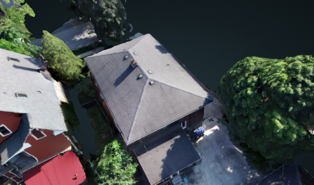
Transform the way you capture and analyze environments with Buffalo UAS’s professional photogrammetry services. Using state-of-the-art drone equipment and advanced software, we create highly detailed and accurate 3D models tailored to your project’s requirements.
From construction sites and infrastructure planning to land surveys, mining, and environmental monitoring, our photogrammetry solutions provide precise spatial data and visual insights that empower better decision-making.
✨ What we deliver:
✔ High-resolution orthomosaic maps & 3D models
✔ Accurate measurements for volume, elevation, and distance
✔ Scalable solutions for projects of any size
✔ Fast turnaround with professional processing
Whether you need to visualize terrain, track site progress, or document property conditions, Buffalo UAS offers the expertise and technology to bring your vision to life in 3D.