Orthoscopic Imagery Services by IAS Drone in Texas

    0 /5.0
    User review
  • 0 sales
  • 143 views
  • 3 Hours Response time
  • $2.50 Per Mile
  • Save


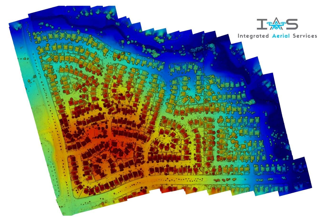
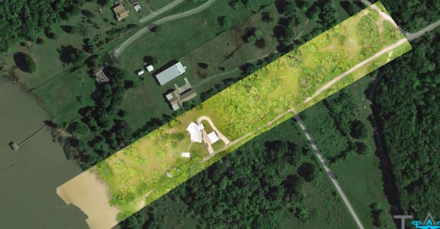
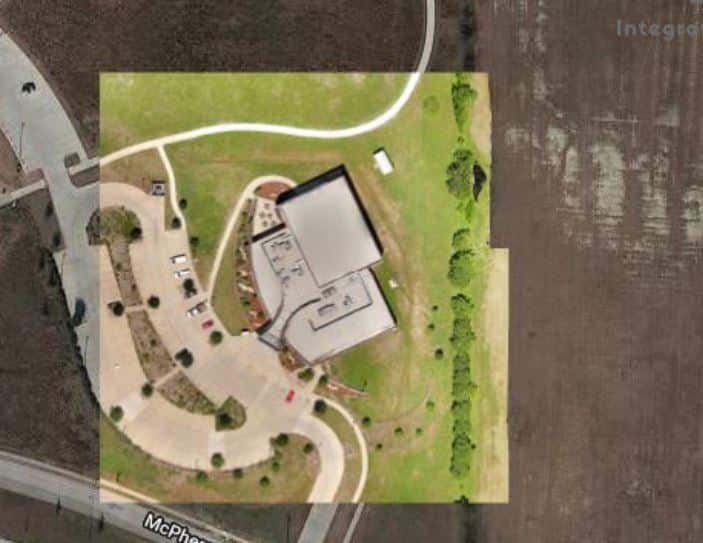
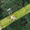
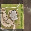
High Resolution Orthoscopic maps are created by taking hundreds or thousands of aerial photos of an area and “stitching” them together to create a large, high resolution image. These maps are great for real estate sales to show prospective clients what a current view of the land is or for monitoring construction progress on a site.

Pricing:

$300 for the first image under 30 acres, $150 for subsequent images under 30 acres within 31 months.

Contact us today to discuss your aerial photography, videography, or thermography needs, confirm pricing, and secure your booking. Let IAS Drone help you showcase your project with stunning aerial imagery.

Distance is billed at $2.50/mile after the the included mileage is passed.

Additional services

  • Images over 50 acres
    $500 for the first image over 30 acres, $350 for subsequent images over 50 acres within 31 months.
    $300.00

Location

 Godley, Texas, US
 Get Directions
Languages:
floating button

Block user “undefined”

Are you sure you want to block this user?

Yes! block right now Not right now

Clear chat

Are you sure you want to clear your chat history?

Yes! clear all Not right now

Report “undefined”

Please fill the report form below so we can review.

Create Group

Profile_photo3869.jpg
No results to show

Delete “undefined”

Are you sure you want to delete this group?

Yes! remove right now Not right now

Delete “”

Are you sure you want to delete this member?

Yes! detele right nowNot right now

Leaving group?

Are you sure you want to leave “undefined”?

Yes! leave nowNot right now

Before you leave

    Hey there! It looks like this contact is not in your friend list. Would you like to chat with this user?

    Block user