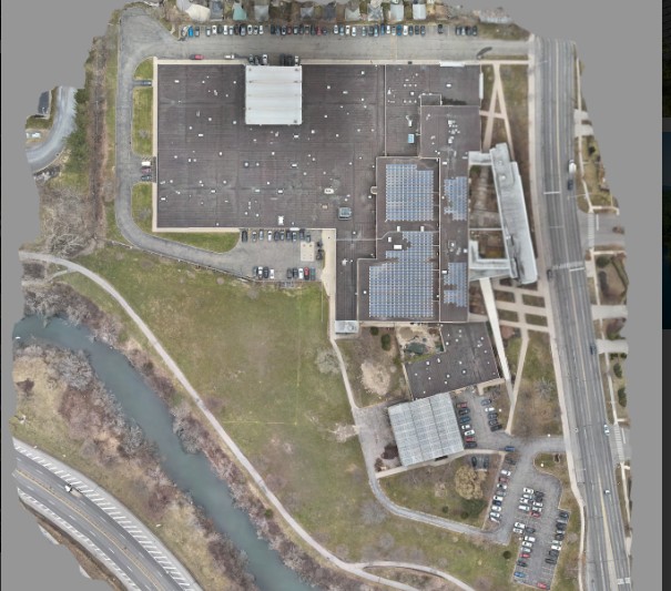
Unlock a new level of precision with Buffalo UAS orthomosaic mapping services. Using state-of-the-art drone technology, we capture high-resolution aerial imagery and seamlessly stitch it together to create an extensive, detailed, and accurate map of your site.
Perfect for surveying, land-use planning, construction, agriculture, and environmental monitoring, our orthomosaics provide a clear, reliable representation of large areas—delivered with exceptional accuracy and clarity.
✨ Why choose our orthomosaic services?
✔ High-resolution, geo-referenced aerial maps
✔ Ideal for planning, surveying, and progress tracking
✔ Cost-effective alternative to traditional surveying methods
✔ Customized solutions for industries across New York
💡 Pricing is tailored to project size and mapping requirements. Contact us today to discuss your needs, and we’ll provide a personalized quote designed for your project.
🚁 Gain accurate insights from above with Buffalo UAS Orthomosaic services.