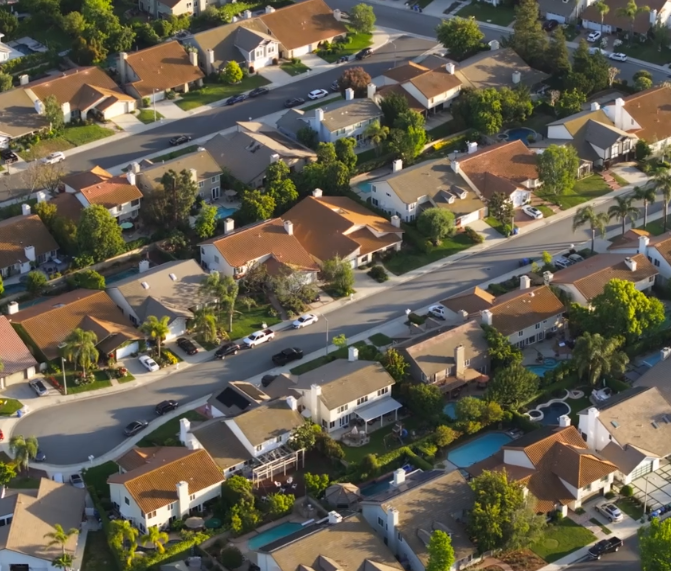

At Aeroflit Drone Media, we offer professional drone mapping and surveying services throughout Texas, providing accurate and detailed geospatial data for construction, land development, and environmental management. Our drones capture high-resolution aerial imagery that we process into orthomosaic maps, digital elevation models (DEMs), and 3D terrain data.
This method dramatically reduces survey time while increasing precision and safety. Whether you’re planning a new development, assessing land use, or tracking project progress, our maps and models give you the clarity and accuracy you need for confident decision-making.
Using the latest photogrammetry technology, we ensure centimeter-level accuracy, allowing engineers, surveyors, and developers to extract actionable insights from every dataset.
Aeroflit Drone Media turns aerial data into real-world results—faster, safer, and more cost-effective than traditional ground surveys.
💲 Pricing is custom—contact Aeroflit Drone Media in Texas today for a personalized quote.