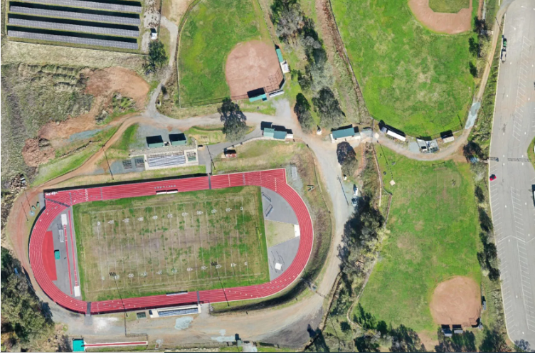
Achieve precise data and accurate site visualization with Mapping Services in California by Soper Aerial Imaging.
Using advanced drone mapping technology, we create detailed orthomosaic maps, elevation models, and 3D terrain representations for a variety of industries.
Located in Sacramento, CA, our mapping solutions serve:
- construction companies
- surveyors, developers
- and land planners
who require reliable geospatial insights. Our drones capture high-resolution aerial data that can be processed into centimeter-level accuracy maps — perfect for measuring areas, monitoring progress, and identifying potential issues early.
We utilize professional software and standardized flight paths to ensure consistency, accuracy, and repeatable results. Whether for topographic surveys, volume measurements, or site analysis, Soper Aerial Imaging delivers actionable mapping data safely, efficiently, and cost-effectively.
With our advanced drone mapping capabilities, you can make better decisions, streamline workflows, and maintain complete project visibility — all backed by professional aerial expertise.