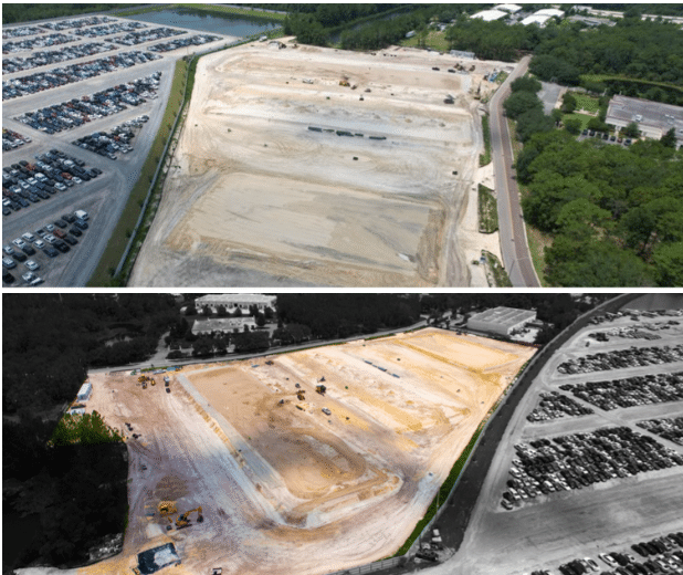
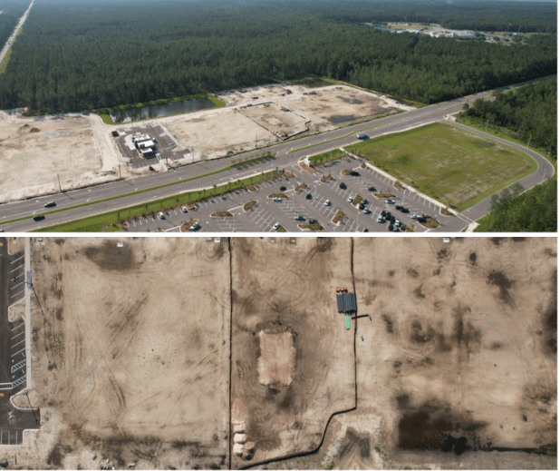
Capture vast properties with unmatched precision and detail using LoQdis' orthomosaic mapping services. Our advanced software stitches together thousands of drone photos to create high-quality orthomosaic maps with up to 0.7 in/px resolution, providing an incredibly detailed view of your property.
Whether for land development, surveying, or planning, our orthomosaic maps ensure you get accurate, actionable insights.
Contact us today to discuss your mapping needs, confirm pricing, and secure your booking. Let us help you present your needs in the best possible way.


