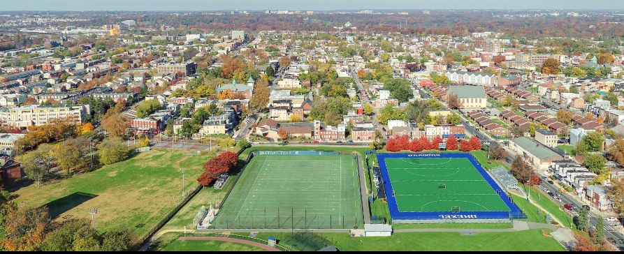
Turn aerial data into powerful insights with Mapping & 3D Modeling Services from 400footViews in Pennsylvania. Using advanced photogrammetry, we transform high-resolution drone imagery into accurate maps, orthomosaics, and 3D models for construction, engineering, surveying, and land management.
Our mapping solutions allow you to measure distances, calculate volumes, and visualize elevation changes directly from your desktop—saving time and reducing the need for manual site visits.
Whether you’re planning a development, tracking excavation progress, or analyzing terrain, our deliverables are precise, shareable, and compatible with leading GIS and CAD software.
💲 Pricing is custom — contact 400footViews in Pennsylvania today for a personalized quote.