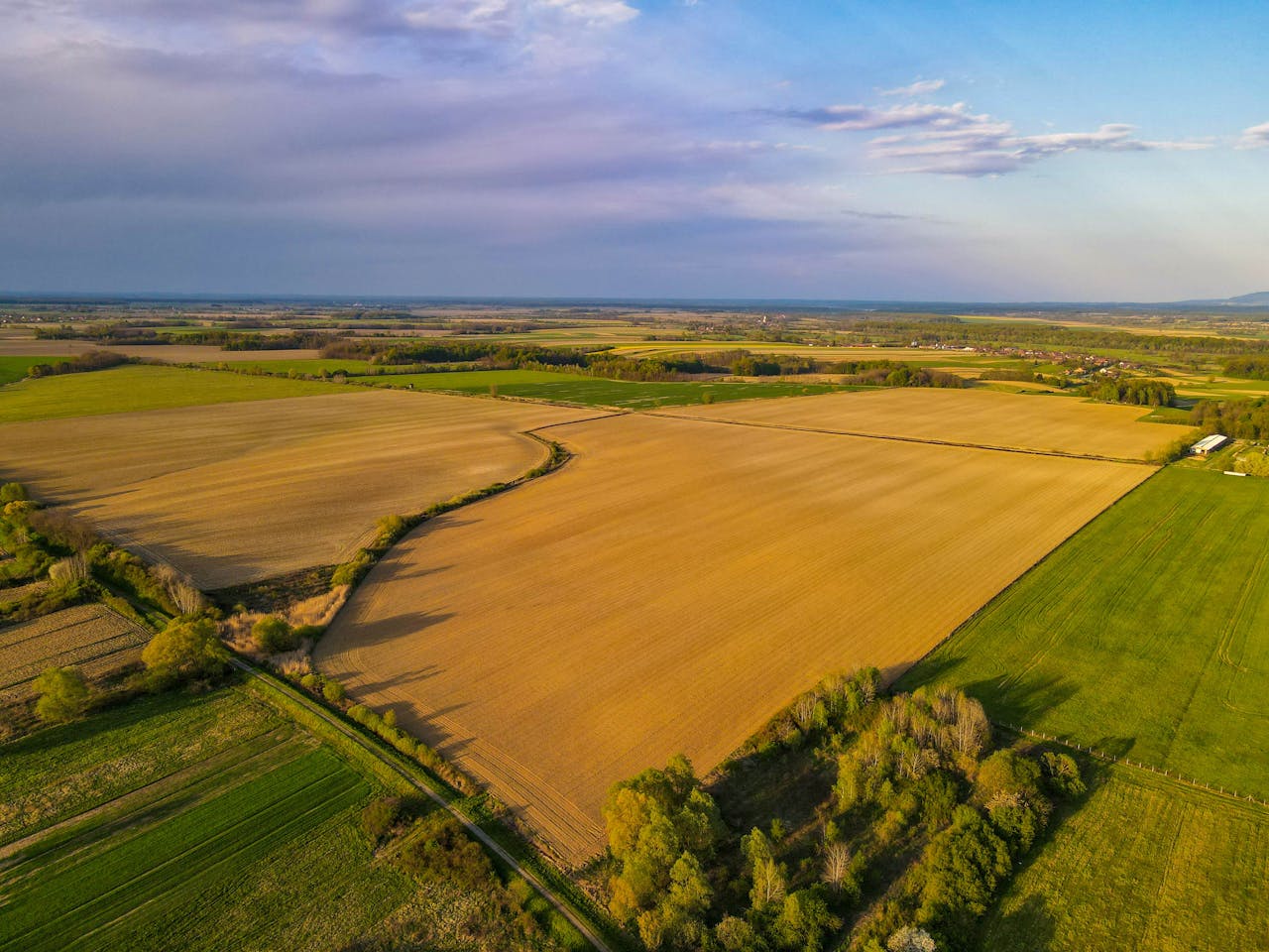

Drones are used for mapping and surveying. In the mapping and surveying sector, drones are becoming useful. By flying above the ground, they may more efficiently carry out tasks like 3D mapping, land surveys, photogrammetry, and topographic surveying.
As the name suggests, photogrammetry is a method of measuring three-dimensional coordinates that uses images as the primary media. Triangulation is the essential idea of photogrammetry.