
Comprehensive Aerial Documentation for Your Project
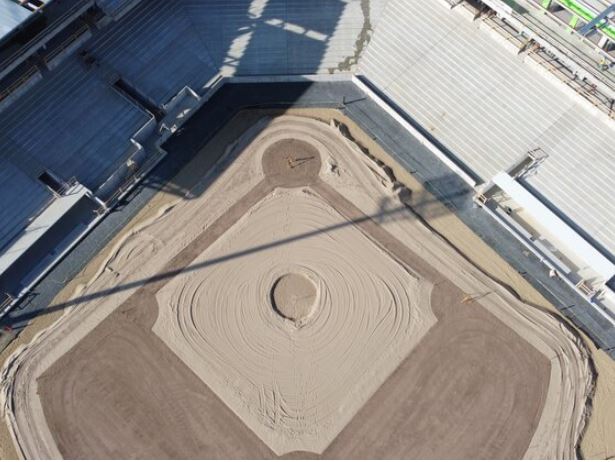
Elevate Drone Media provides high-quality aerial imaging to track and document land development
and construction progress. Our drone technology delivers valuable insights for progress monitoring,
compliance, and marketing.
Services Offered:
✅ Project Progress Monitoring – Capture time-lapse aerial updates from start to finish.
✅ OSHA Documentation – Enhance workplace safety compliance with detailed aerial reports.
✅ Surveying & Site Mapping – Provide high-resolution topographic imagery for planning.
✅ Marketing & Investor Reports – Showcase progress with professional aerial visuals.
Contact us today to elevate your construction project with advanced aerial imaging!
Travel upto 75 Miles