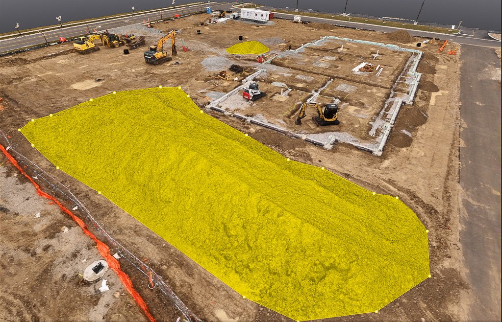

High-precision drone mapping and aerial site scanning services engineered to streamline planning, project coordination, and progress tracking for construction and land development projects.
Capabilities & Services Offered:
-
High-resolution aerial scans and orthomosaic mapping for site planning and coordination.
-
Scheduled drone flyovers to track ongoing construction milestones and site conditions.
-
Overhead spatial data collection for contractor updates, team coordination, and client reporting.
-
Rapid, non-disruptive site scanning that improves safety and operational efficiency.
Serving construction managers and developers across Indiana.
Location
Fequently asked questions
How does drone mapping assist construction project managers?
Drone mapping provides high-resolution, overhead visual data that improves site safety, accelerates planning, and provides reliable progress documentation.
How often can site monitoring flights be conducted?
Scans can be scheduled on a recurring basis (e.g., weekly or monthly) to match construction milestones.