





High-resolution aerial imagery capture and photogrammetric topographic mapping utilizing advanced UAV technology for construction sites, agricultural acreage, and civil infrastructure projects across North Georgia and the Atlanta metro area. Delivers georeferenced orthomosaic maps, elevation models, and spatial data for site planning and engineering oversight.
Key Details & Capabilities:
-
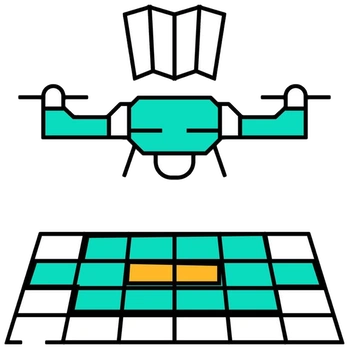
Photogrammetric Orthomosaics: High-density 2D aerial mapping providing accurate spatial detail for site preparation.
-
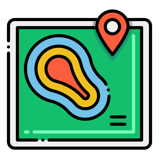
Topographic & Elevation Data: Generates digital elevation models (DEM) to evaluate slope, contours, and drainage patterns.
-
FAA Part 107 Operations: Conducted by licensed remote pilots with LAANC clearances for controlled airspace across Georgia and nationwide.
-
Regional Service Hubs: Field operations servicing Ellijay, Blue Ridge, Jasper, the North Georgia mountains, and the greater Atlanta metro region.
Location
Fequently asked questions
What deliverables are produced from aerial photogrammetry flights?
Deliverables include high-resolution georeferenced orthomosaic maps, contour maps, digital surface models, and 3D terrain meshes.
Are flight crews FAA licensed and insured in Georgia?
Yes, all operations are led by FAA Part 107 certified commercial remote pilots equipped with comprehensive liability insurance.