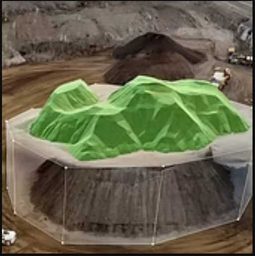

Cumulus Imaging specializes in drone-based stockpile measurement and site mapping services, offering highly accurate volumetric analysis and visual documentation for companies managing bulk materials. Using advanced photogrammetry technology and automated processing workflows, we capture detailed overhead imagery and convert it into measurable 3D models that reveal real material volumes with precision. This service significantly reduces manual labor risks and avoids costly surveying errors that often result from ground-based measurement methods.
Our volumetric reporting is suitable for mining, agriculture, waste management, construction, energy, and landscaping yards that require ongoing tracking of gravel, soil, mulch, sand, grain, scrap, or raw material inventory. In addition, we create detailed site maps that assist in land planning, progress documentation, operational safety, and environmental assessment. These maps support multiple software platforms and can be integrated into digital workflows for long-term data comparison.
Whether used monthly, quarterly, or annually, our service helps companies optimize storage management, transportation planning, financial forecasting, and compliance documentation through fast, safe, and reliable aerial data capture.