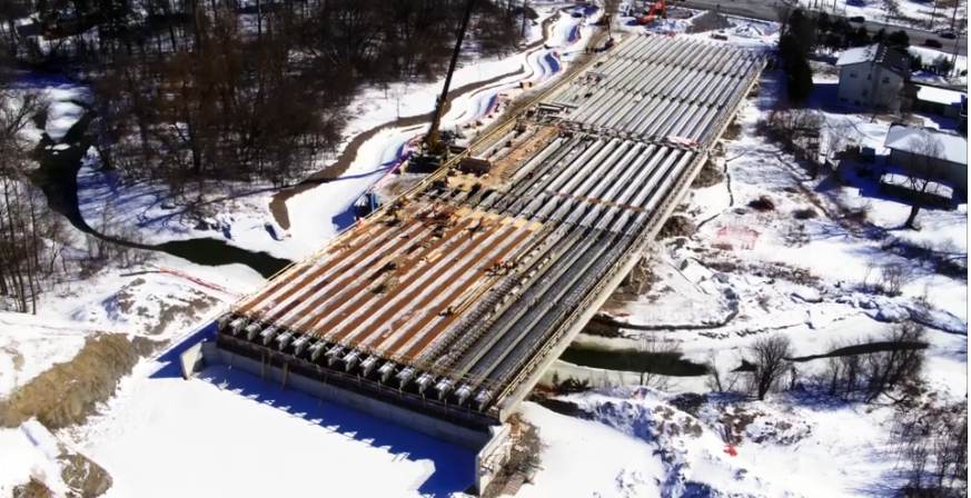
Drone mapping is one of the most efficient ways to gather accurate data for planning, surveying, and monitoring projects. At Vivid Drone Solutions in Texas, we specialize in aerial mapping that produces detailed, georeferenced maps and 3D models.
Using orthomosaic mapping techniques, we stitch together high-resolution aerial images to create precise top-down views of land, construction sites, and agricultural fields. These maps allow clients to measure distances, calculate areas, and analyze changes over time. Developers can track site progress, farmers can evaluate crop health, and environmental teams can monitor land conditions with confidence.
Compared to traditional surveying methods, drone mapping is faster, safer, and more cost-effective. Our expertise in photogrammetry ensures accuracy and precision, providing reliable data that supports decision-making. Whether it’s for land development, environmental monitoring, or construction planning, our mapping services are tailored to meet your needs.
Vivid Drone Solutions brings efficiency, safety, and clarity to every project through professional aerial mapping.
💲 Contact Vivid Drone Solutions in Texas today to schedule your mapping service and request a personalized quote.