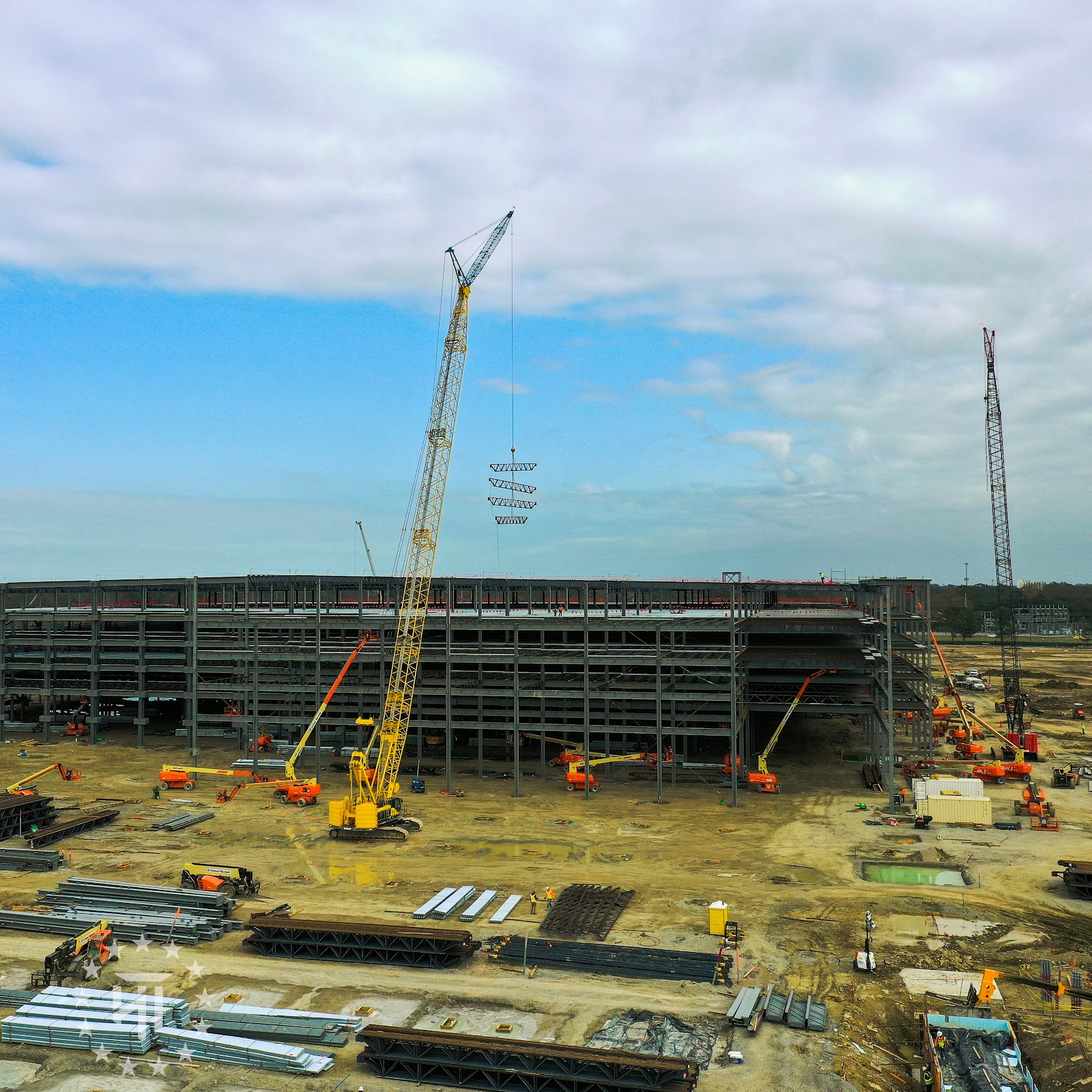




High-precision orthomosaic site mapping and scheduled construction progress tracking for general contractors, developers, and engineers across South Louisiana. Delivers georeferenced 2D maps and chronological progress photos to monitor job site updates from site clearance to project closeout.
Key Details & Capabilities:
-
Geospatial Orthomosaic Maps: High-density 2D orthomosaic imagery created for accurate spatial planning and site oversight.
-
Scheduled Progress Audits: Recurring flight paths capturing identical GPS coordinates at custom intervals for stakeholder updates.
-
Safety & Regulatory Compliance: Executed by FAA Part 107 licensed and fully insured commercial pilots adhering strictly to federal aviation safety standards.
Location
Fequently asked questions
What deliverables are included in construction mapping flights?
Deliverables include high-resolution georeferenced orthomosaic maps, high-altitude site overviews, and chronological progress photo/video reports.
What primary regions in Louisiana are serviced?
Operations cover Baton Rouge, Lafayette, New Orleans, and the surrounding South Louisiana communities.