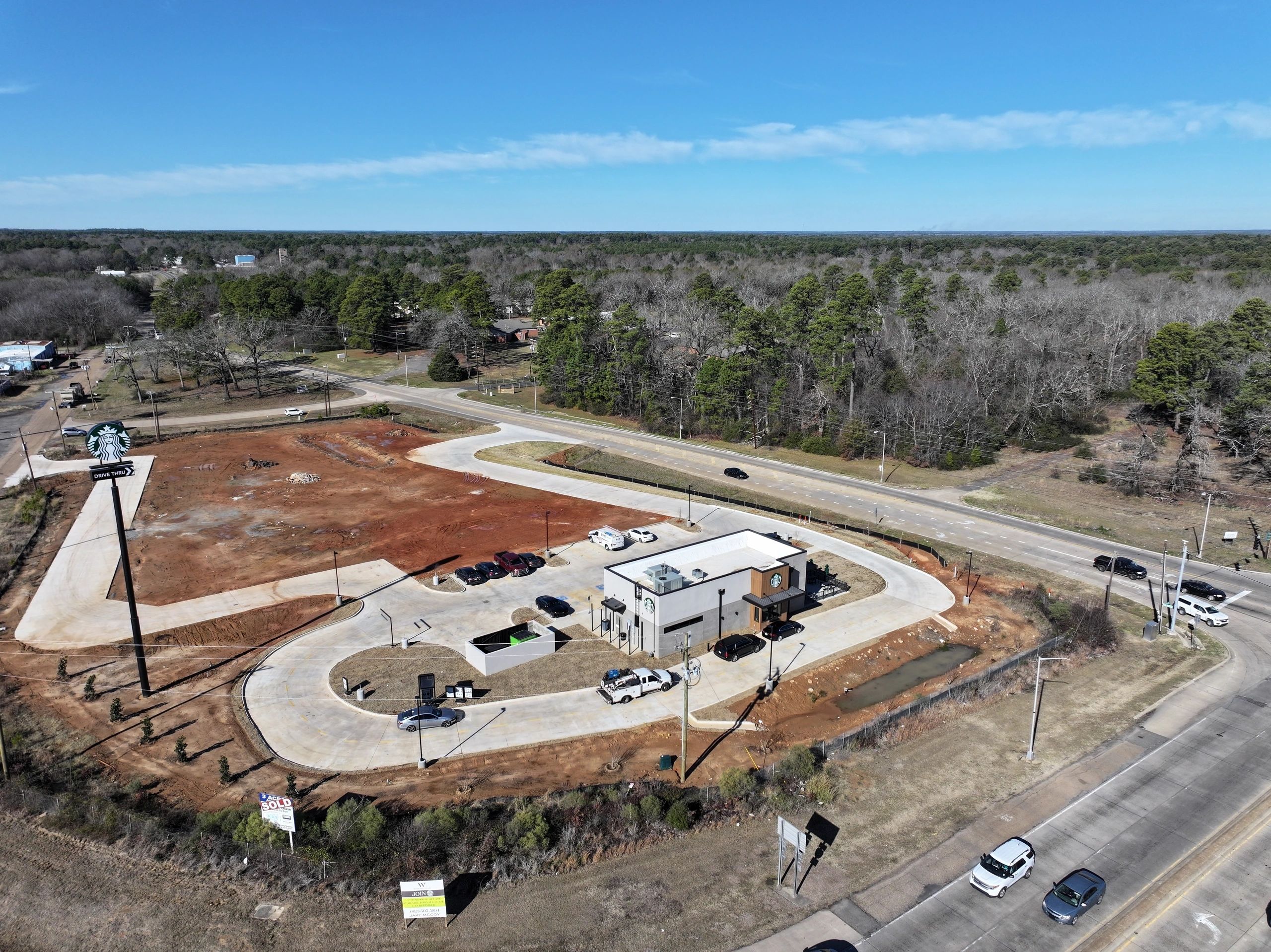




Comprehensive construction progress monitoring, 2D orthomosaic site mapping, high-density 3D spatial modeling, and stockpile volume data collection for earthwork contractors and developers across Shreveport, Louisiana.
Key Details & Capabilities:
-
2D & 3D Site Modeling: High-precision photogrammetry producing actionable 2D orthomosaic maps and 3D terrain models for construction oversight.
-
Stockpile Volumetric Calculations: Fast, cost-effective volumetric material measurement for earthworks, gravel, and site materials.
-
Chronological Site Tracking: Repeatable flight paths capturing chronological progress photos for project stakeholders and engineers.
Location
Fequently asked questions
How does drone stockpile measurement compare to traditional ground surveys?
Drone volumetric calculations cover entire job sites in a fraction of the time, keeping ground crews safe and providing accurate 3D volume data faster and more economically.
Can construction progress flights be scheduled on a recurring basis?
Yes, automated weekly, bi-weekly, or monthly flight routines can be set up to deliver consistent side-by-side progress comparisons.