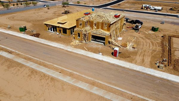


Reliable, real-time drone progress monitoring services providing general contractors, civil engineers, and site superintendents with regular visual documentation, archival updates, and site records throughout the build lifecycle in Knoxville, Tennessee.
Capabilities & Services Offered:
-
Project Status Archival Imagery: Scheduled high-resolution aerial photo sweeps capturing jobsite changes from initial earthwork to final build turnover.
-
Stockpile Volume Reports: Aerial image captures supporting surface calculations and stockpile inventory reviews.
-
Custom Mission Execution: Capability to execute pre-planned mission routes programmed through flight software like DroneDeploy, FlightHub 2, DroneLink, or Pix4D.
Location
Fequently asked questions
Can I provide pre-planned mission files for drone flights on my jobsite?
Yes, mission flight paths programmed in software like DroneDeploy, FlightHub 2, DroneLink, or Pix4D can be integrated and flown directly.