
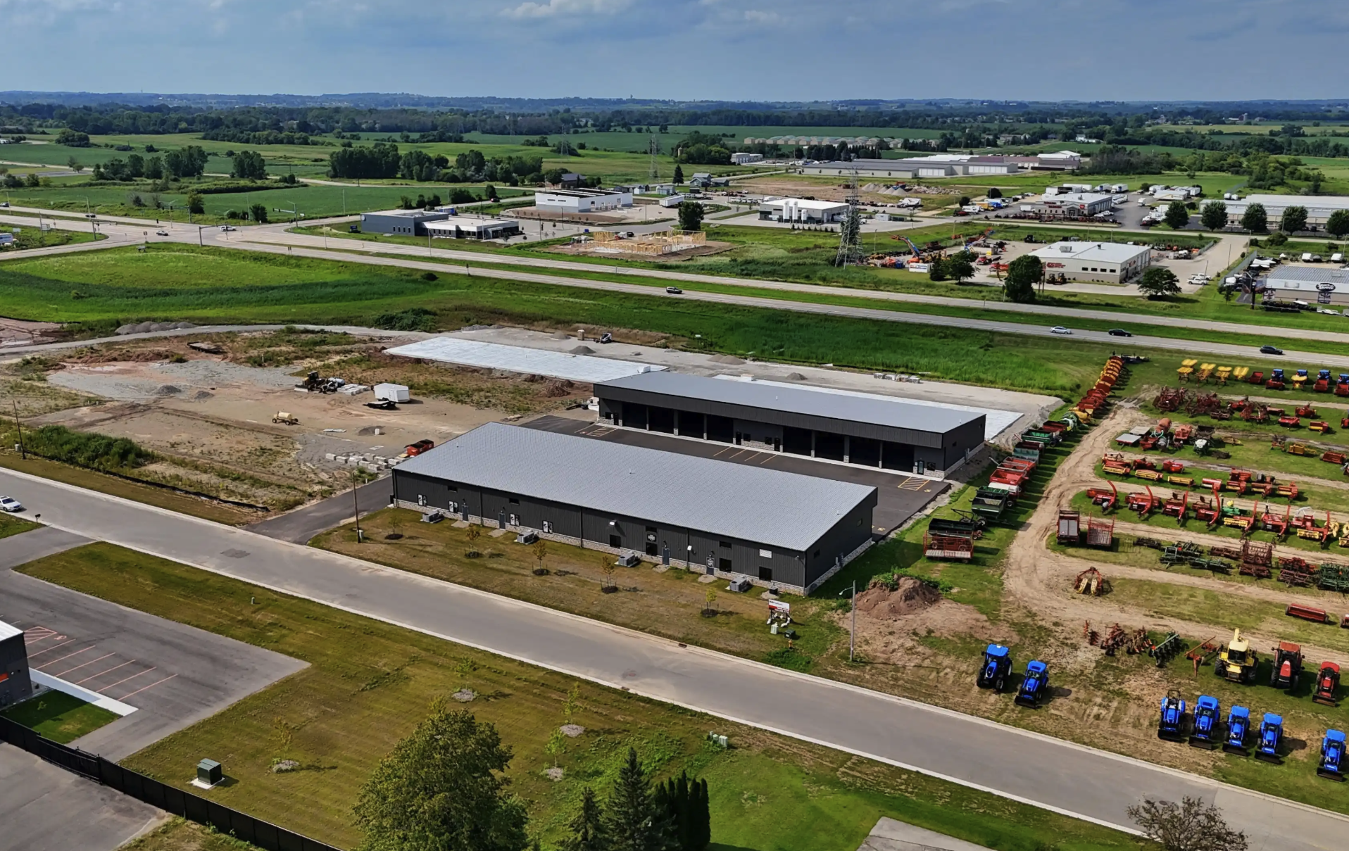

Monitor your project's progress with precise aerial imaging. Drone technology ensures real-time updates, allowing you to track milestones, ensure safety compliance, and maintain efficient workflows. Improve communication with stakeholders through clear, detailed visuals.
Basic Package 150:
10 edited Aerial Photos
At Ledge Top Drone Services, we offer tailored Construction Packages to help you efficiently manage and document your projects. Leveraging cutting-edge drone technology, we provide high-resolution aerial imaging that delivers real-time updates, ensuring your project stays on track from start to finish.
Additional services
-
Standard
10 edited aerial photos 30 second video compilation$250.00
-
2D Map
Many images stitched together$250.00
-
3D Model
Many images stitched together Price Varies By Sq ft$0.00