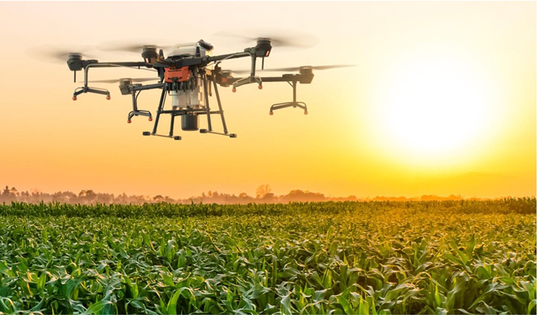
Enhance farm productivity and sustainability with Agricultural Drone Services from Soarin Drone Services, LLC in Florida. Our drones capture NDVI (Normalized Difference Vegetation Index) and multispectral imagery to evaluate crop health, detect stress, and monitor irrigation efficiency.
By analyzing canopy conditions, soil moisture, and growth patterns, we help farmers make data-driven decisions—improving yields while reducing fertilizer, pesticide, and water usage. Our aerial imaging identifies problem areas early, allowing for targeted interventions that save time and resources.
Whether you manage citrus groves, row crops, or pastures, our precision mapping supports smarter resource allocation and long-term sustainability. We also assist with plant counting, field mapping, and pre-harvest analysis, delivering clear visual reports you can act on immediately.
💲 Pricing is custom — contact Soarin Drone Services, LLC in Florida today for a personalized quote