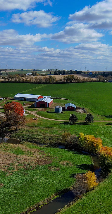

Specialized aerial imaging solutions supporting farmers, crop scouts, agronomists, seed companies, and agricultural insurance adjusters with actionable crop and field data.
Capabilities & Services Offered:
-
Field & Crop Health Monitoring: Aerial visual data collection to track crop growth, canopy conditions, and field uniformity.
-
Agronomy & Scout Support: Rapid aerial coverage over large agricultural acreage to identify problematic field zones early.
-
Insurance & Claim Documentation: Overhead visual evidence assisting insurance adjusters in assessing crop and storm damage.
-
Data-Driven Farming Solutions: Precision aerial data tailored to streamline operational decision-making for local growers.
Location
Fequently asked questions
What agricultural professionals can benefit from drone surveys?
Local farmers, crop scouts, agronomists, seed supply companies, and agricultural insurance adjusters.
How do agricultural drone surveys improve crop management?
Overhead imaging provides quick, comprehensive field views, allowing growers and scouts to detect crop stress, irrigation issues, or damage much faster than walking rows.