
Results-driven technology and field services professional specializing in advanced drone mapping, construction analytics, and data-driven decision support. Combines hands-on expertise in orthomosaic photogrammetry, aerial inspections, and site intelligence with a strong background in business intelligence, analytical modeling, and operational optimization.
Known for delivering high-precision aerial data solutions that support structural inspections and 3D Reconstruction. Bringing my unique hybrid skillset bridging field operations and advanced analytics, enabling clients to move from raw data to actionable insight quickly and efficiently.
Core Expertise
- FAA Part 107 Licensed
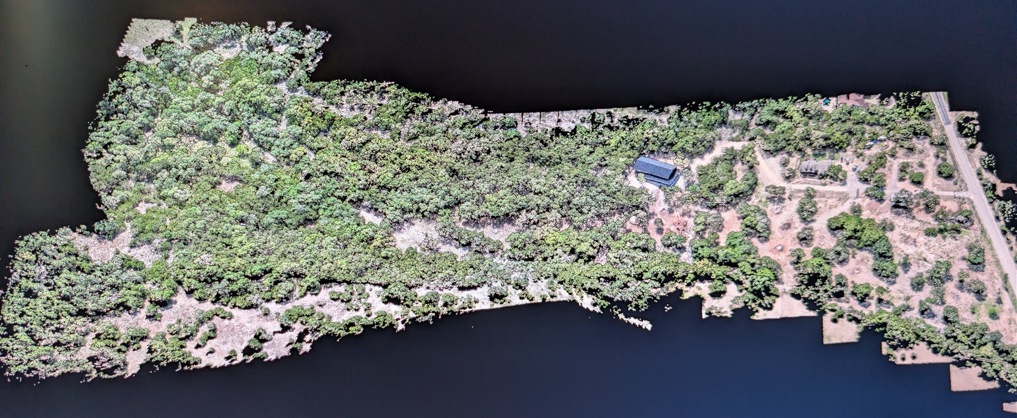
- Drone Mapping & Aerial Imaging
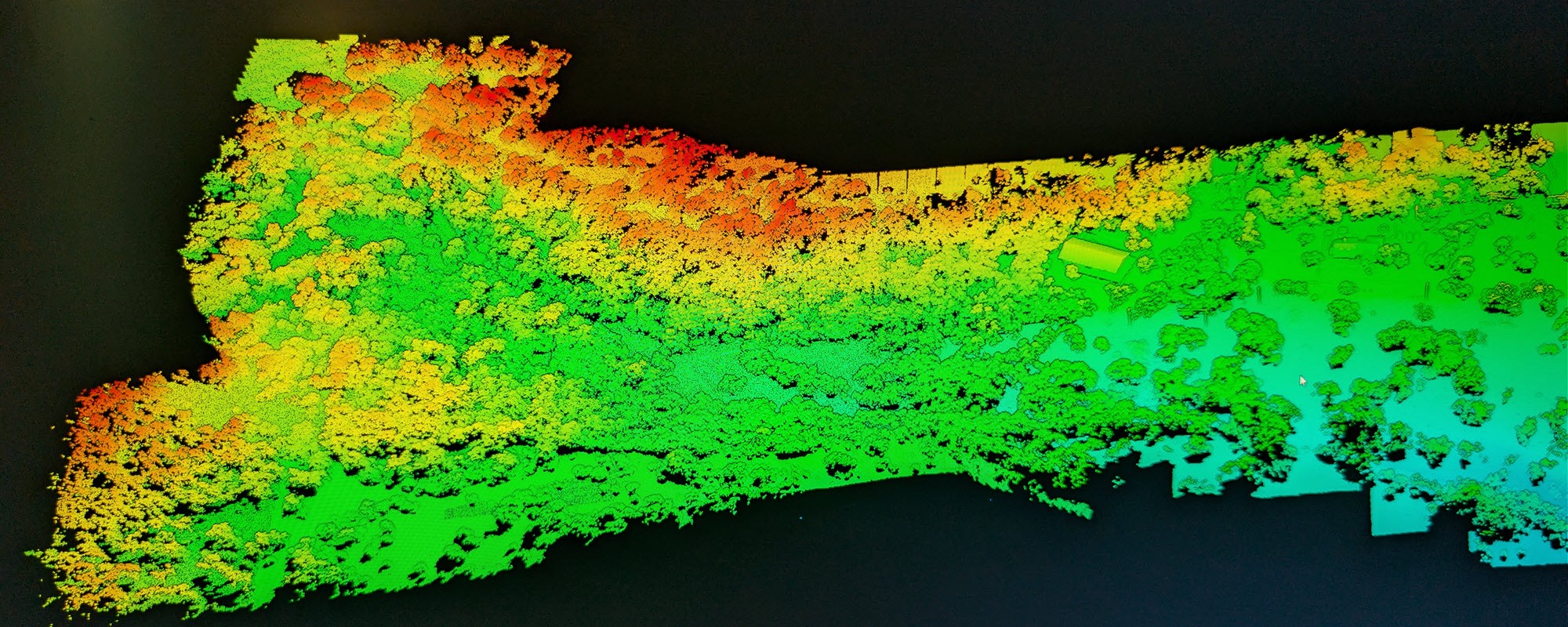
- Orthomosaic Photogrammetry & 3D Modeling
- 3D Reconstruction & Twinning Models
- Construction Site Monitoring & Progress Tracking
- DEM (Digital Elevation Models)
- DSM (Digital Surface Models)
- DTM (Digital Terrain Models) from aerial survey data
- GNSS Site Survey Photogrammetry
- GIS & Spatial Data Analysis
Value Proposition
- Precision + Insight: Not just capturing imagery—delivering actionable intelligence
- GNSS Global Accuracy with customized platform specific delivery workflow by application.
- Field-to-Boardroom Capability: Ability to translate site data into executive-level reporting
- Mobile & Scalable: On-demand deployment across regions for projects of any size
- Safety-Focused Execution: Strong emphasis on compliance, risk mitigation, and operational safety
Location
Fequently asked questions
Can you fly in controlled airspace?
Yes, with FAA approval I am authorized to fly in controlled airspace.
What file formats can you export?
Export formats vary and we will coordinate the required format.
Can you provide online access for large models?
Yes, we have multiple services available to host large models depending on your use cases (viewing/presentation, versus taking measurements and collaborating with multiple parties).
Are the raw images available including the ortho mosaic (single large image)?
Yes, you can select an area in the deliverables and view all of the camera captures of that scene. If you want a downloadable directory of all of the images, this can be accommodated.
What locations do you service?
I provide a mobile service capable of traveling on-site in the continental United States. Travel time will impact estimated delivery dates and must be discussed prior to purchase.