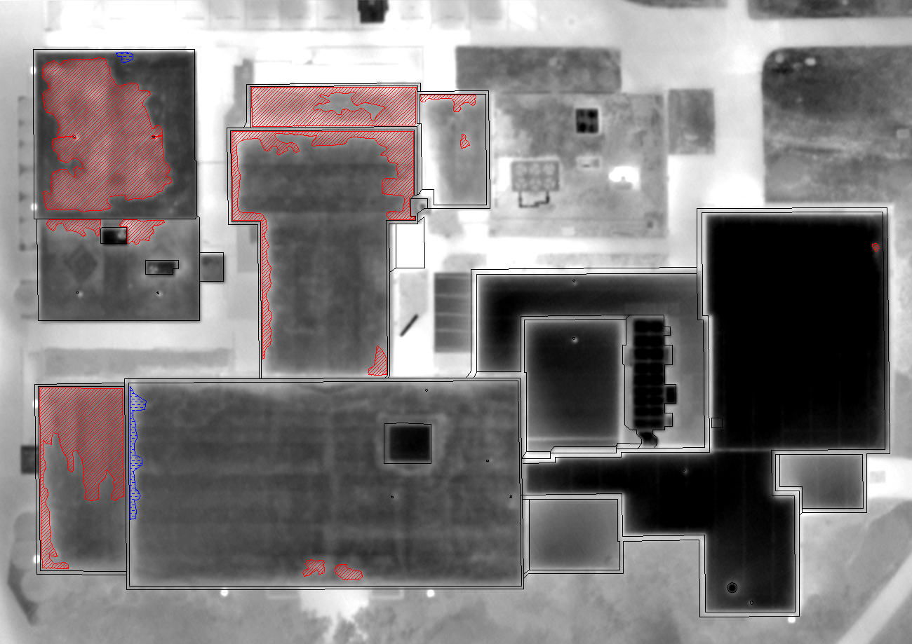


High-altitude aerial thermography services utilizing fixed-mount infrared cameras to scan large structural envelopes, commercial roofs, and underground utilities.
Capabilities & Services Offered:
-
Aerial thermal scans for large flat roof assemblies and commercial building envelopes.
-
Thermal mapping and leak detection for buried steam pipe networks and underground distribution systems.
-
Detailed CAD deliverable generation with AutoCAD reports documenting thermal anomalies.
-
Rapid overhead evaluation of expansive properties without physical site disruption.
Location
Fequently asked questions
What deliverables are included with an aerial thermal survey?
Surveys include AutoCAD-formatted reports mapping identified thermal anomalies across roofs or underground piping.
What can be inspected using aerial infrared surveys?
Aerial thermography is used for large commercial roof moisture scans, building envelope assessments, and underground steam line surveys.