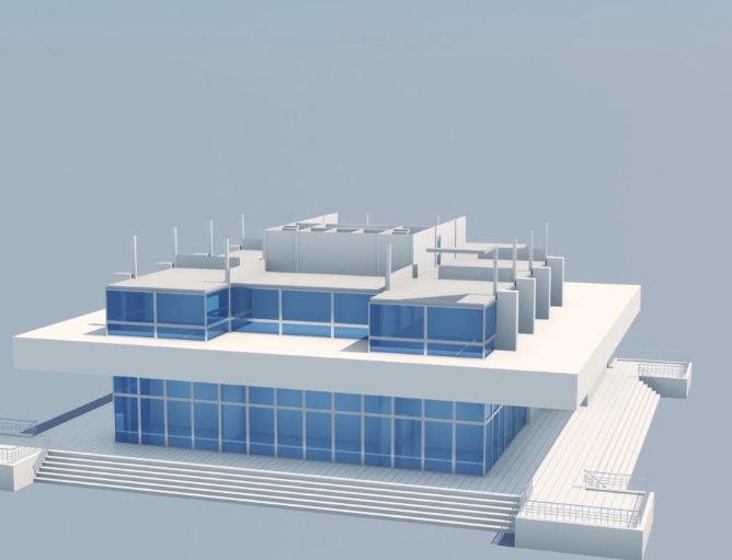

At Aeroflit Drone Media, we deliver high-precision 3D modeling services throughout Texas using cutting-edge drone photogrammetry and LiDAR techniques. Our aerial 3D models capture exact details of buildings, terrain, and infrastructure, creating digital twins that enhance planning, analysis, and presentation.
These models are invaluable for construction planning, architecture, engineering, and land development. They allow teams to visualize progress, measure distances, and identify design issues before they become costly problems. Our data-driven approach ensures that every 3D model is accurate, textured, and georeferenced for professional use.
We also serve clients in historic preservation, environmental studies, and virtual visualization, enabling them to view projects in realistic 3D environments. Each project is delivered in accessible formats compatible with CAD, GIS, and BIM software.
With Aeroflit Drone Media, you gain a deeper understanding of your site through powerful visual and spatial data.
💲 Pricing is custom—contact Aeroflit Drone Media in Texas today for a personalized quote.