Photogrammetry
Explore expert photogrammetry services by licensed drone pilots, delivering precise aerial mapping, 3D models, and topographic surveys for your projects. Accurate, efficient, and tailored to your needs
Showing all 3 results
-

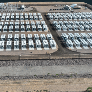
Accurate Photogrammetry Mapping Services in Arizona By Aragondroneworks
$100.00 Read more -

Photogrammetry & Orthomosaic Mapping in Massachusetts by Elevation UAV Aerial Solutions
Read more -
Professional Drone Data Processing for Photogrammetry and LiDAR in Arizona by Aragon drone works
$100.00 Read more