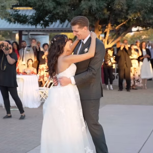
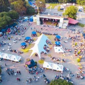
Events & Ceremonies
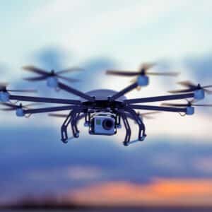
Capture life’s grand moments from the heavens. Weddings, birthdays, or festivals, our drones waltz in the skies, ensuring memories shine brighter, bigger, and from the best angles.
Showing 1–16 of 64 results
-
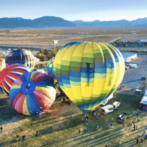
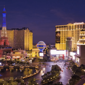
Aerial Photography in Las Vegas by Sky View Las Vegas
$200.00 Read more -
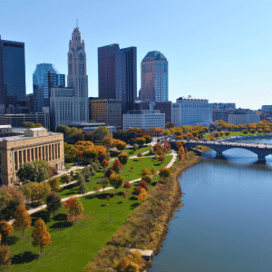
Aerial Photography in Ohio by Robert G
$100.00 Read more -

Amazing Drone Light Shows in Georgia by MAP Drone Solutions
$0.00 Read more -
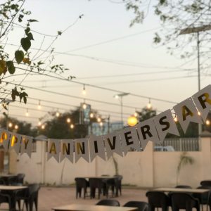
Birthdays & Anniversaries in California by MINOKAWA DRONE WORX LLC
Read more -

CAD Infrastructure & Asbuilt Planimetrics in Texas by ADM Geomatics
$600.00 Read more -
Capture Every Moment: Sierra Vista Media – Your Event Storytellers in Arizona
Read more -
Certified & Protected Drone Photography in NY by Blue Lid Aerial
$195.00 Read more -
Commercial Headshots in Oklahoma City by Vision Trail Media LLC
Read more -

Commercial Marketing Reels in DeLand Florida USA by Arise Imaging
$450.00 Read more -
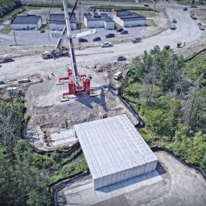
Construction Progression in Waxahachie Texas USA by Angles Aerials TX
$150.00 Read more -

Corporate & Event Photography & Videography in North Carolina by DronEyeSolutions
Read more -
Corporate Events in Texas by SkyPro Visuals
Read more -
Corporate Events Photography in California by Commercial Drones Dispatch
Read more -

Corporate Headshots in Midlothian by Wingo Visual Arts
Read more -
Corporate Video in Texas by Vivid Drone Solutions
Read more -
DGDronePhoto – Next-Level Aerial Photography in Texas
$500.00 Read more