
Drone Job Categories


Drone Certifications
-

FAA Part-107 Licensed Drone Pilot #4680055
Services


0 /5.0
User review Starting from $150.00


0 /5.0
User review Starting from $250.00


0 /5.0
User review Starting from $150.00


0 /5.0
User review Starting from $0.00
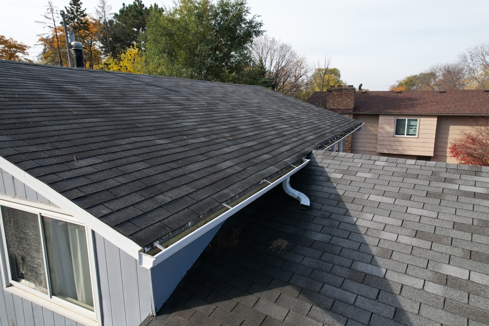
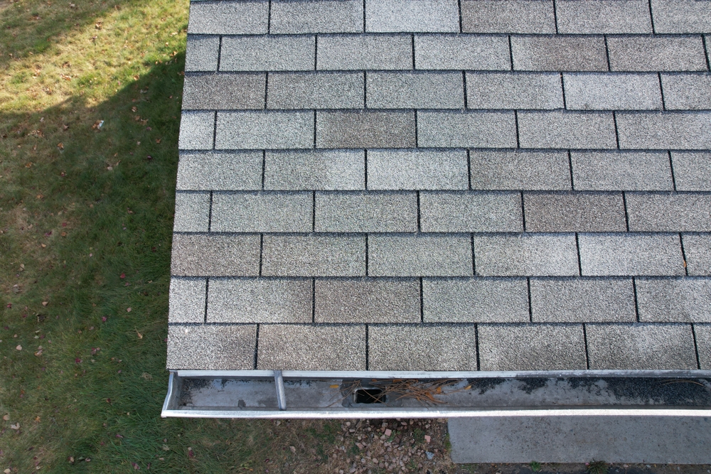
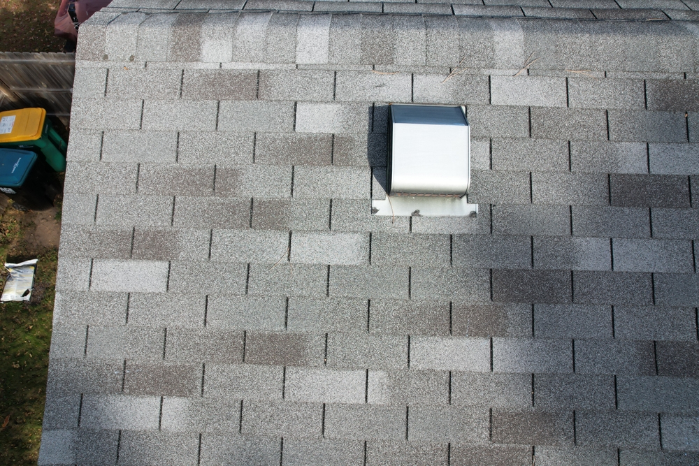
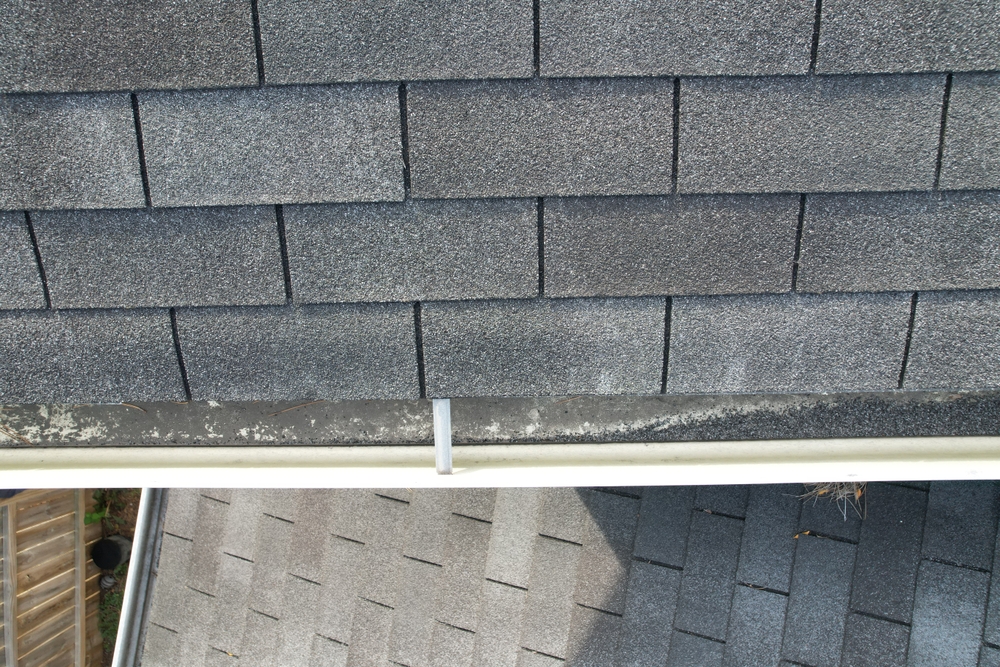
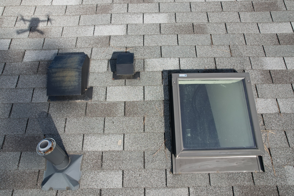
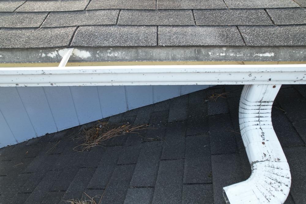
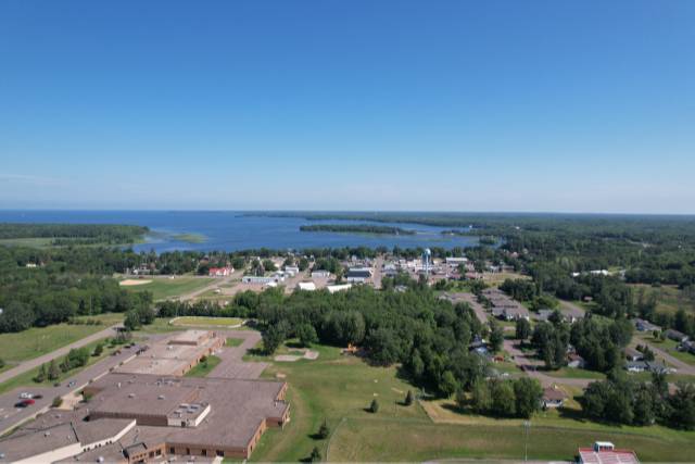
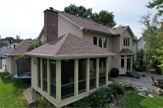
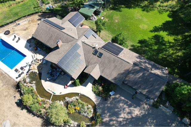
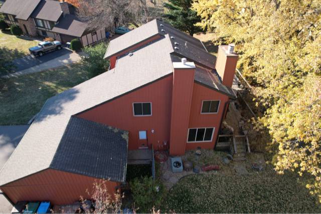
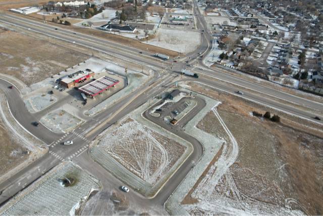
Drone Portfolio


- 1
- 2