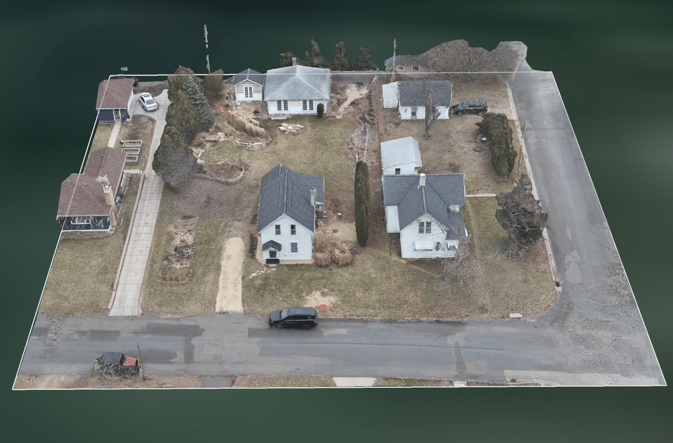
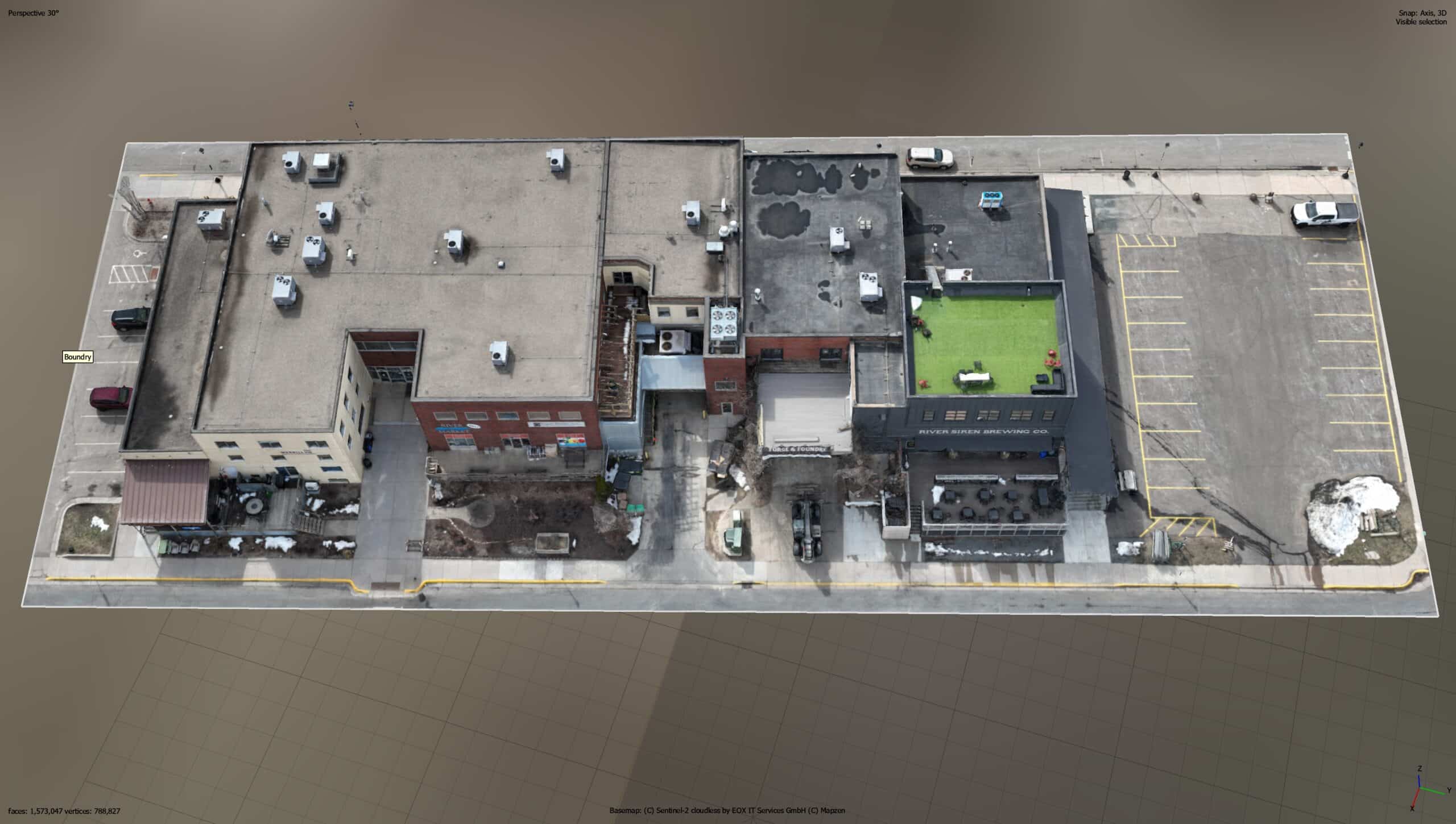
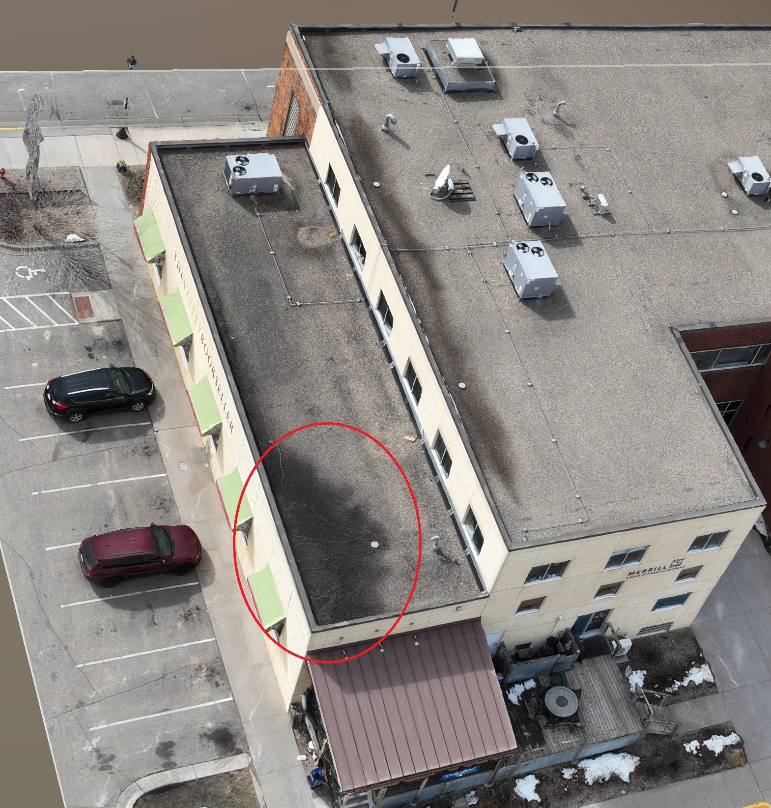
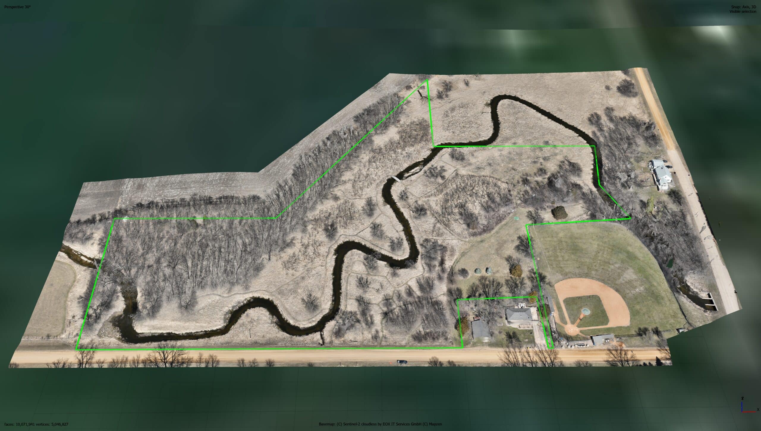
Drone Job Categories
-

Accident Reconstructions
-

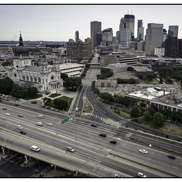
Aerial Photography
-

Aerial Videography
-

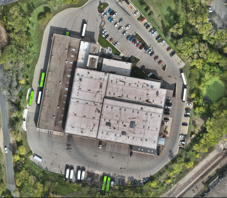
Building & Structural Inspections
-

Commercial Real Estate
-

Construction Site Monitoring
-

Emergency Services
-

Fire Surveillance
-
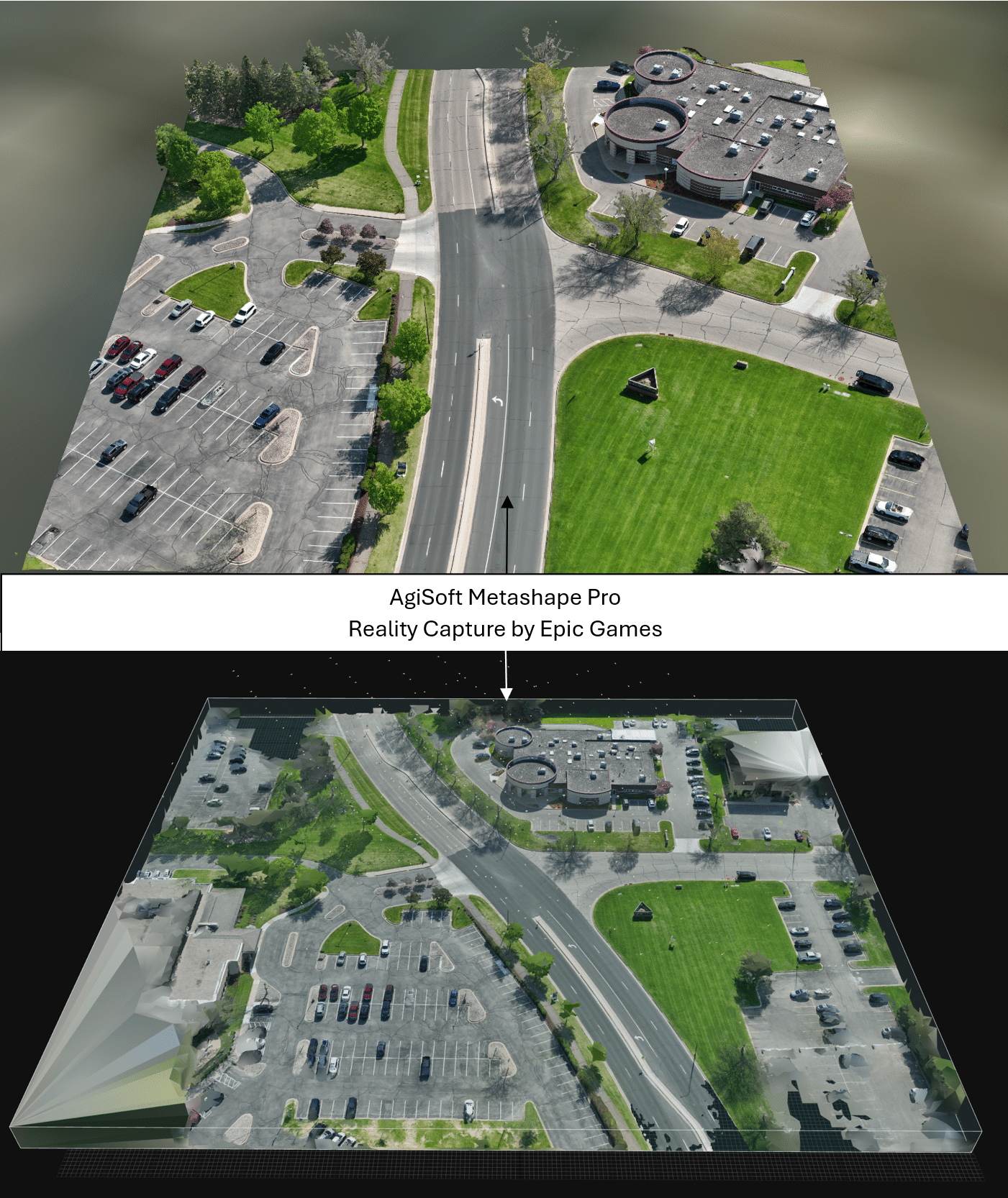
Geo Mapping
-

Infrastructure & Construction
-

Insurance Inspections
-

Land & Topographic Surveys
-

Mapping & GIS
-

Orthomosaics
-

Photogrammetry
-

Photography
-

Surveys & Inspections
-

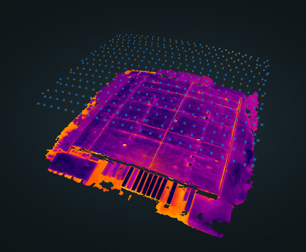
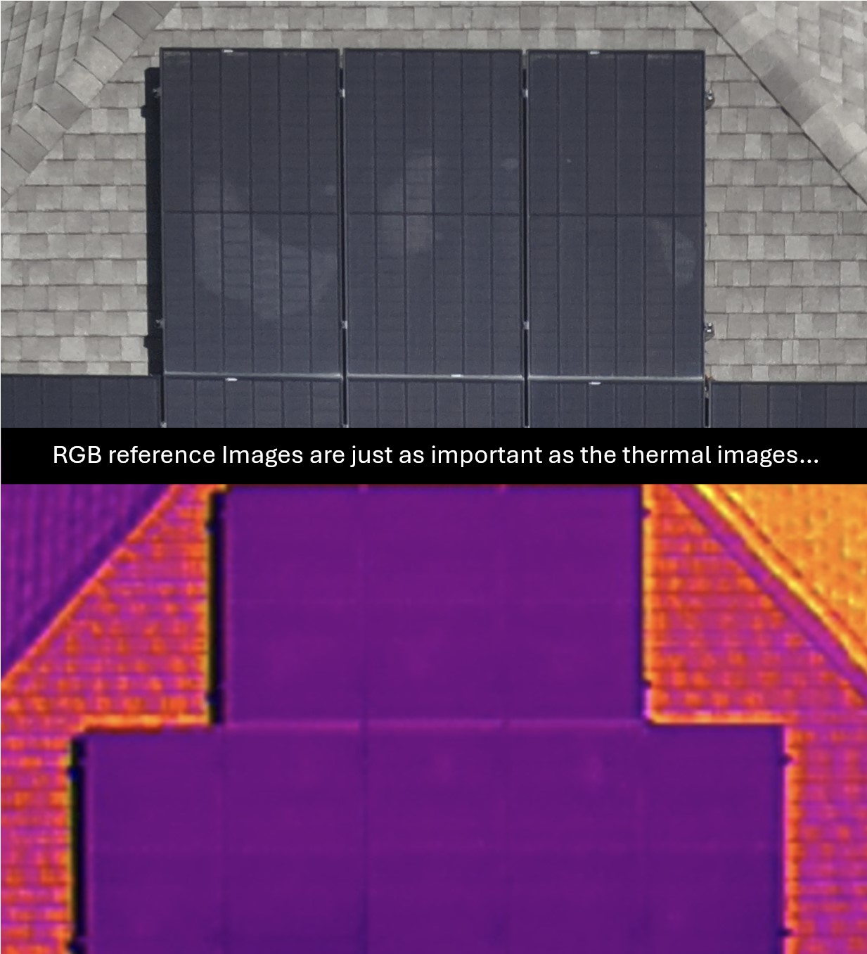
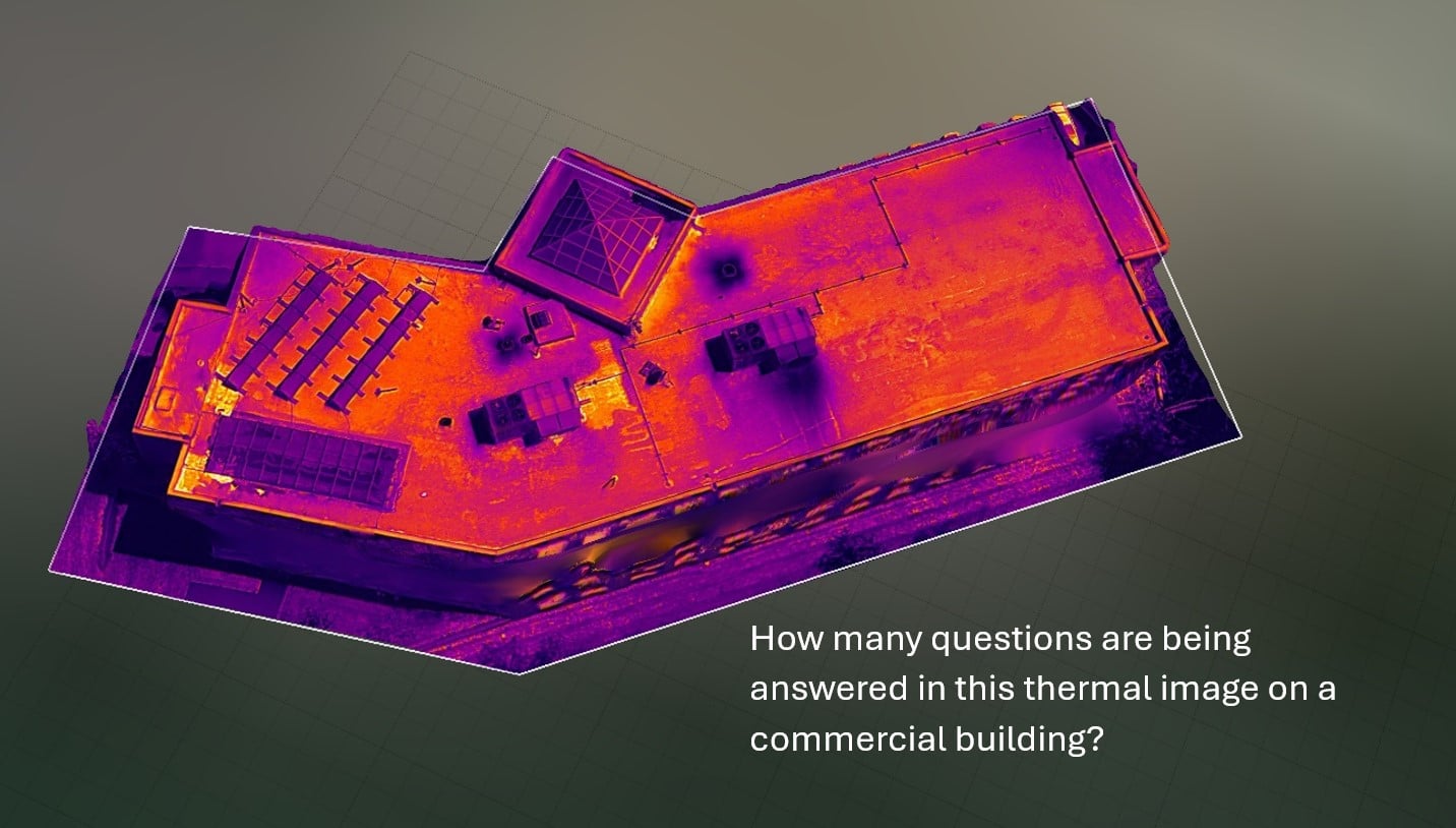
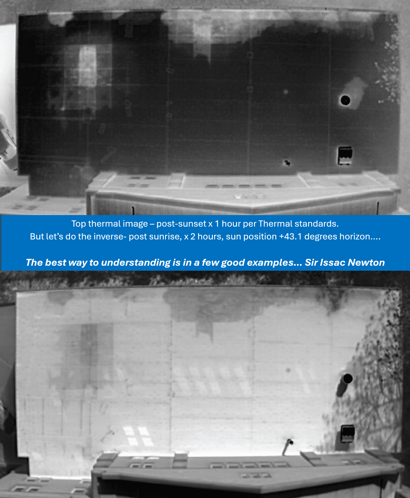
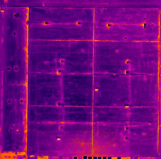
Thermal Imaging
-

Thermal Mapping
-
Thermographic
-
Topographic Survey
-

Vacant Land
-

Videography
-
Volumetric Analysis
Drone Certifications
-

FAA Part-107 Licensed Drone Pilot #3297333
-

Level I sUAS Thermographer
Services


0 /5.0
User review Starting from $280.00


0 /5.0
User review Starting from $280.00


0 /5.0
User review Starting from $310.00


0 /5.0
User review Starting from $175.00