DJI Mavic 2 Pro

  1. Home
  2. DJI Mavic 2 Pro
249 Mi
Distance in ( Miles ) 249
Pilots
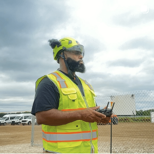
Robert Banks

SkySkan Drone Ops specializes in residential, & commercial aerial photography for real estate, construction monitoring, special events, sports, inspections & mapping. We also provide ground photography for parties, special events, or sports. Our pilot holds the following certifications; • FAA Part 107 • OSHA 10 • RF Awareness • Hearing Safety • Bloodborne Pathogen •....

bil-sullivan

Providing aerial and ground imagery throughout western Illinois and eastern Iowa.  No travel charge under 60 miles.

seattle-aeronautics

An elite team of ground/aerial photographers, videographers, and cinematographers, and pilots, Seattle Aeronautics brings a unique (and polished) perspective to the Travel, Cinema, Advertising, Construction, Real Estate, and Search & Rescue fields. We’re currently offering drone services in Washington, including Marysville, Tacoma, and Seattle.

Bill Sullivan

FAA Part 107 licensed since 2020, my primary areas of focus are both residential and commercial properties.  This have included single retail establishments to mobile home parks to skyscrapers.  There is no travel charge up to 50 miles; about $30 per 50 miles beyond that is an average rate.  Whether my clients prefer photos in....

NEAS

At Northeast Aerial Solutions, we take pride in providing top-notch aerial photography and video services to our clients. As a Part 107 certified and insured drone pilot, I bring a wealth of expertise and experience to every project. Our team specializes in capturing stunning aerial imagery and video for a variety of industries, including real....

george-benes

I’ve been a Part 107 commercial drone pilot since 2019 providing our clients with Real Estate, Architectural and wedding photography, mapping, construction progress and inspections using the Mavic 2 Pro, 3 Classic and 3 Enterprise drones. I am also owner/operator of a Photography business located in Oregon City, Oregon.

Earl Bakke

As a drone pilot and small business owner at ScenePhoto360, LLC, I provide aerial photography, videography, mapping, and thermal imaging services. I use the latest drone technology and tools to perform centimeter accurate data capture. I’ve been in this role for over 3 years, leveraging my FAA Part 107 certification and Thermography Certification to deliver....

Edmond Matevosian

For travel I charge mileage rate of .57/mile plus $20/hr for travel time. I utilize the Pix4D Mapper, Matic and Survey software to produce 2D (photogrammetry), 3D (digital twins) and Contour maps (utilizing LiDAR) for clients such as engineers, architects, surveyors and realtors. I also perform jobs (photos and videos) for realtors, insurance claims and....

Marcus Edwards

Established in 2003, I am an experienced commercial photographer that specializes in drone photography & videography, orthomosaic mapping, construction progression, commercial / residential real estate, and headshots.