Expert

Showing 81–96 of 1002 results

  • Placeholder

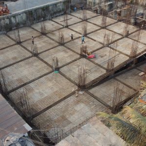
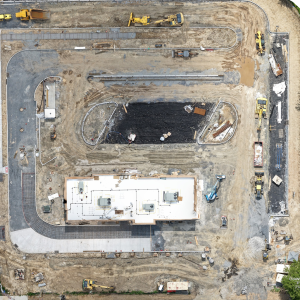
    Aerial Inspections & Construction Works-in-Progress Monitoring in New York

    Read more
  • Aerial Inspections in California by MINOKAWA DRONE WORX LLC

    Aerial Inspections in California by MINOKAWA DRONE WORX LLC

    Read more
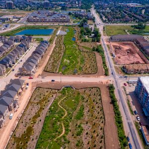
  • Drone inspections enhance Texas infrastructure safety and efficiency by Vivid Drone Solutions.

    Aerial Inspections in California by Waddle Aero

    Read more
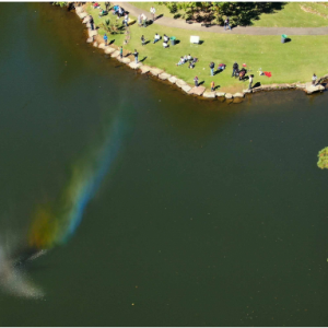
  • Pond fountain with rainbow mist in a lush green park.

    Aerial Landscape in Alabama by Aerial Scouts LLC

    Read more
  • Aerial map showcasing topographic features and landscapes for mapping services.

    Aerial Map services in Kansas by Heat Seekers

    Read more
  • Aerial drone mapping services for precise land surveying and analysis.

    Aerial Mapping in Texas by San Angelo Aerial

    Read more
  • Placeholder

    Aerial Mapping & Industrial-Grade Drone Imaging in Parker, Colorado

    Read more
  • Aerial Mapping & Orthomosaic Surveys in Yardley, Pennsylvania

    Aerial Mapping & Orthomosaic Surveys in Yardley, Pennsylvania

    Read more
  • Aerial mapping Connecticut by Drone.vet with drone photogrammetry and orthomosaic survey imagery.

    Aerial Mapping in Connecticut by Drone Vistas LLC

    Read more
  • Drones performing aerial surveys and inspections with extended flight time capabilities.

    Aerial Mapping in Oklahoma by Heat Seekers OK

    Read more
  • Drone-assisted land survey for accurate measurements and mapping.

    Aerial Mapping Photogrammetry & Inspections in Minnesota by High Angle Imagery

    $150.00
    Read more
  • Aerial drone photography showcasing stunning landscapes and vibrant scenery.

    Aerial Marketing Services in Virginia by AI Enhanced Technologies, LLC

    $250.00
    Read more
  • High-resolution aerial photogrammetry services for accurate mapping and surveying solutions.

    Aerial Photogrammetry in Texas by Crowley Surveying

    Read more
  • Placeholder

    Aerial Photogrammetry & 3D Site Modeling Data Packages in Palm Bay, Florida

    Read more
  • Aerial mapping of land showcasing detailed topography and landscape features.

    Aerial Photogrammetry Mapping & Orthomosaics in Washington by MorLo Aerial Imaging

    Read more
  • Leafless tree with birds, rustic wooden fence, and scattered white slats in winter yard.

    Aerial Photography in Texas by San Angelo Aerial

    Read more