Professional
Showing 273–288 of 651 results
-

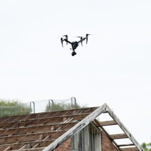
Drone Photography in North Carolina by Herizon Drone Services
Read more -
Drone Photography in Wisconsin by Dynamic Imagery by Travis
$175.00 Read more -
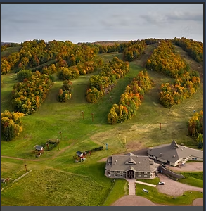
Drone Photography Packages in Minnesota by Airman Drone Services
Read more -

Drone Photography/Videography Services in TN by Drone Link
Read more -
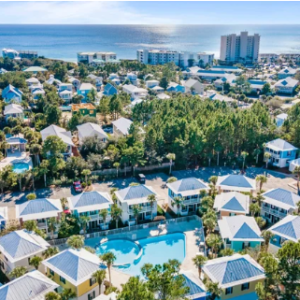
Drone Photos in Florida by AWP Media
Read more -
Drone Property survey in Georgia by MAP Drone Solutions
$0.00 Read more -
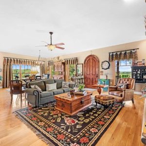
Drone Real Estate Photography / Video by DWLP in Nashville
Read more -
Drone Real Estate Residential Photography by Str8 Shooters Photography
Read more -
Drone Services in Massachusetts by Kevin Ting Photography
Read more -
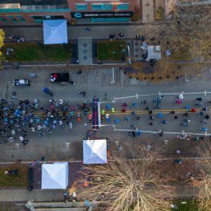
Drone Services in Geneva For Events by Your Flying Camera
Read more -
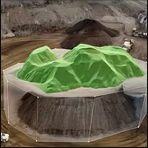
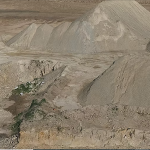
Drone Stockpile Measurement & Site Maps in Texas by Cumulus Imaging
$500.00 Read more -
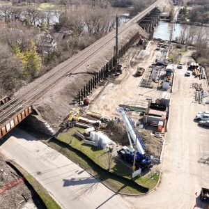
Drone Video Services in Tennessee by Droneworx Photography
Read more -

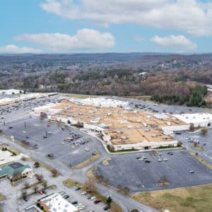
Drone-Enabled Commercial Property Inspection in Indianapolis Indiana USA by Sky Scan Innovations
$3,000.00 Read more -
Drones services in Geneva for industrial Inspection by Your Flying Camera
Read more -
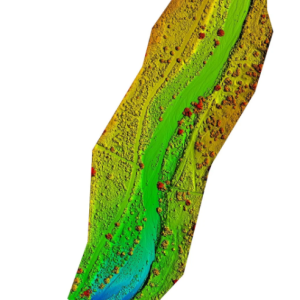
DSM & DTM in New Mexico by Aerial inSight LLC
Read more -
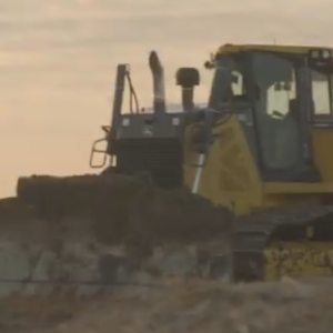
Earthwork & Pile Estimations in Arizona by Flyover Drone Services
Read more