+1 Business Day

  • Aerial cinematography showcasing Kansas landscapes by Goodens Aerial Services.

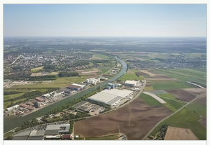
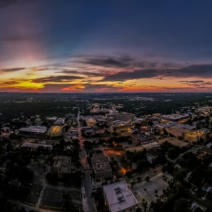
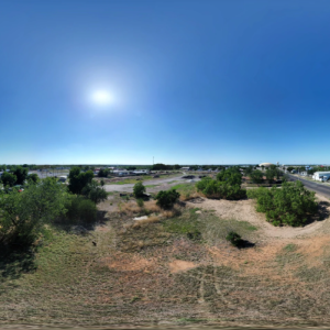
    Aerial Cinematography in Kansas by Goodens Aerial Services

    Read more
  • Drones assess aerial disaster damage for effective recovery and emergency response strategies.

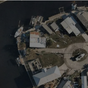
    Aerial Disaster Assessment in Florida by Soarin Drone Services, LLC

    Read more
  • Aerial drone photography of fishing activity in vibrant waters.

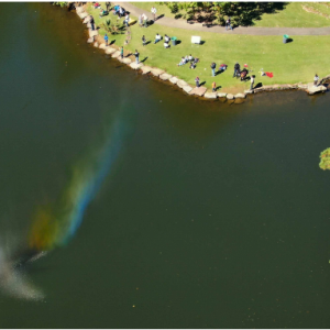
    Aerial Fish Feeding in Florida by Soarin Drone Services, LLC

    Read more
  • Aerial Footage in Kansas by rmdroneimages

    Aerial Footage in Kansas by rmdroneimages

    Read more
  • Drones capturing aerial imagery for hotel promotions and marketing strategies.

    Aerial Hotel Promotions in Florida by Soarin Drone Services, LLC

    Read more
  • Drone photo capture service showcasing stunning aerial imagery and professional photography solutions.

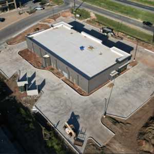
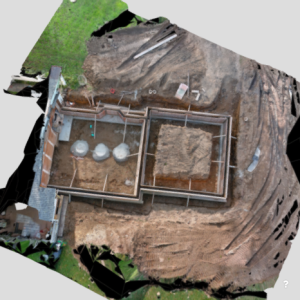
    Aerial Inspection in Texas by San Angelo Aerial

    Read more
  • Drone thermal inspection for effective building analysis and maintenance management.

    Aerial Inspections in North Carolina by Pathfinder UAV Services LLC

    Read more
  • Aerial Inspections in California by MINOKAWA DRONE WORX LLC

    Aerial Inspections in California by MINOKAWA DRONE WORX LLC

    Read more
  • Drone inspections enhance Texas infrastructure safety and efficiency by Vivid Drone Solutions.

    Aerial Inspections in California by Waddle Aero

    Read more
  • Aerial Landscape in Alabama by Aerial Scouts LLC

    Aerial Landscape in Alabama by Aerial Scouts LLC

    Read more
  • Aerial drone mapping services for precise land surveying and analysis.

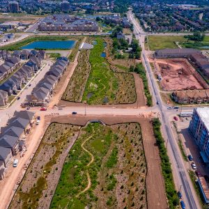
    Aerial Mapping in Texas by San Angelo Aerial

    Read more
  • Drone photogrammetry services for capturing detailed aerial images and precise measurements.

    Aerial Mapping in Connecticut by Drone Vistas LLC

    Read more
  • Drones performing aerial surveys and inspections with extended flight time capabilities.

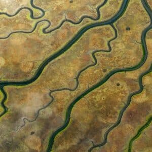
    Aerial Mapping in Oklahoma by Heat Seekers OK

    Read more
  • Drone-assisted land survey for accurate measurements and mapping.

    Aerial Mapping Photogrammetry & Inspections in Minnesota by High Angle Imagery

    $150.00
    Read more
  • Aerial drone photography showcasing stunning landscapes and vibrant scenery.

    Aerial Marketing Services in Virginia by AI Enhanced Technologies, LLC

    $250.00
    Read more
  • High-resolution aerial photogrammetry services for accurate mapping and surveying solutions.

    Aerial Photogrammetry in Texas by Crowley Surveying

    Read more