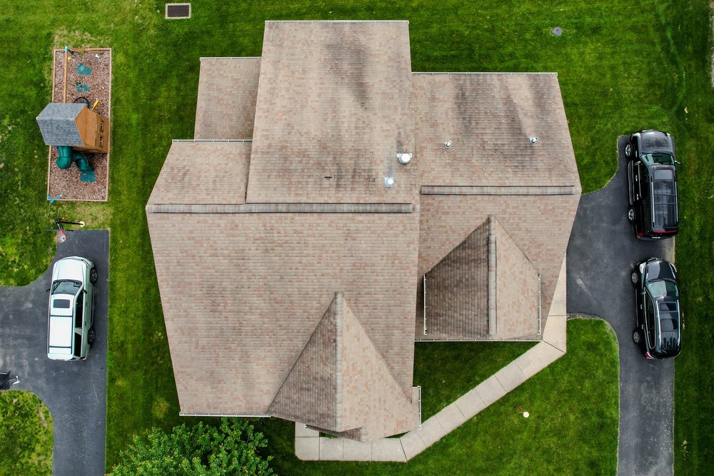


Safe, non-contact aerial visual inspections and mapping for commercial buildings, roofing, industrial structures, and land parcels.
Capabilities & Services Offered:
-
Structure & Roof Inspections: High-resolution close-up imagery to evaluate roof condition, structural wear, and elevated assets without ladder climbing.
-
Aerial Site Mapping: Spatial visual data collection for site planning, land development, and layout evaluations.
-
Zero-Downtime Inspections: Safe ground-based flight deployment that keeps facility operations running smoothly during visual checks.
-
Detailed Asset Visuals: Clear photo and video documentation for insurance reviews, property managers, and maintenance teams.
Location
Fequently asked questions
Are aerial inspections safer than manual roof checks?
Yes, remote drone flights capture high-definition imagery from the air, eliminating ladder risks and physical foot traffic on roofs.