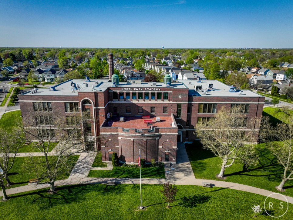

Property Surveys by South Alabama Drones in Pike Road, Alabama provide clear, accurate, and high-resolution aerial data that supports land evaluation, planning, and project development.
While these surveys are not legal boundary surveys, they deliver essential visual and spatial information that helps landowners, builders, developers, and surveyors understand a property’s terrain, features, and layout from an elevated perspective.
Using advanced drone systems, we capture:
- detailed top-down imagery
- elevation views
- wide-area coverage that reveal land conditions
Discover natural contours, vegetation growth, drainage paths, access points, and structural placements. This data is extremely useful for pre-construction planning, land improvement projects, property documentation, feasibility studies, agricultural assessments, and general site visualization.
Our drone flights are conducted with precision, using GPS-guided flight paths to ensure consistent, repeatable, and accurate imaging.
After capturing the data, we process the imagery into organized visual sets that clearly represent the property from multiple angles, helping clients make informed decisions with confidence.
Property surveys from South Alabama Drones provide a reliable, cost-effective way to evaluate land without the need for extensive ground labor or manual inspection. Whether you're preparing for development, reviewing property conditions, or gathering documentation, we deliver high-quality aerial insights for properties throughout Alabama.
Contact us, South Alabama Drones for custom quote on Drone.vet.