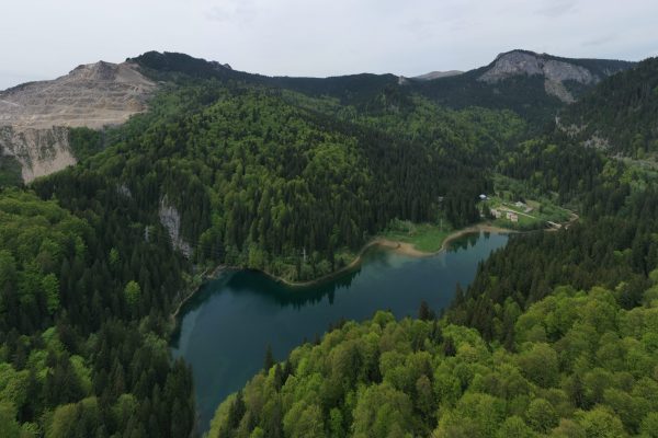

Fly-By Drones in Oklahoma provides forestry aerial imaging and analysis for sustainable land management. Our drones capture high-resolution maps and 3D models that reveal canopy health, density, and growth patterns.
These insights help landowners and forestry professionals assess storm damage, plan harvests, monitor reforestation, and detect disease or pest infestations. Drone surveys cover large areas quickly, safely, and cost-effectively—replacing outdated manual methods.
With our detailed orthomosaics and volumetric data, you’ll gain accurate information for planning, compliance, and resource management.
💲 Pricing is custom—contact Fly-By Drones in Oklahoma for your forestry mapping needs.