
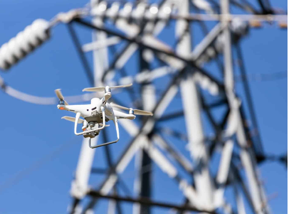

For large-scale projects, traditional surveying isn’t always practical. That’s why Crowley Surveying in Texas offers Aerial Photogrammetry, combining drone technology with advanced software to create highly detailed 2D and 3D models.
This method allows us to capture large areas quickly and with remarkable accuracy. Applications include land development, environmental studies, construction progress, and agricultural monitoring. Photogrammetry data provides valuable insights such as terrain models, volume calculations, and site analysis, all delivered faster than traditional methods.
By integrating aerial data with ground control points, Crowley Surveying ensures accuracy and reliability in every project.
💲 Contact Crowley Surveying in Texas today to request a personalized quote for aerial photogrammetry services.