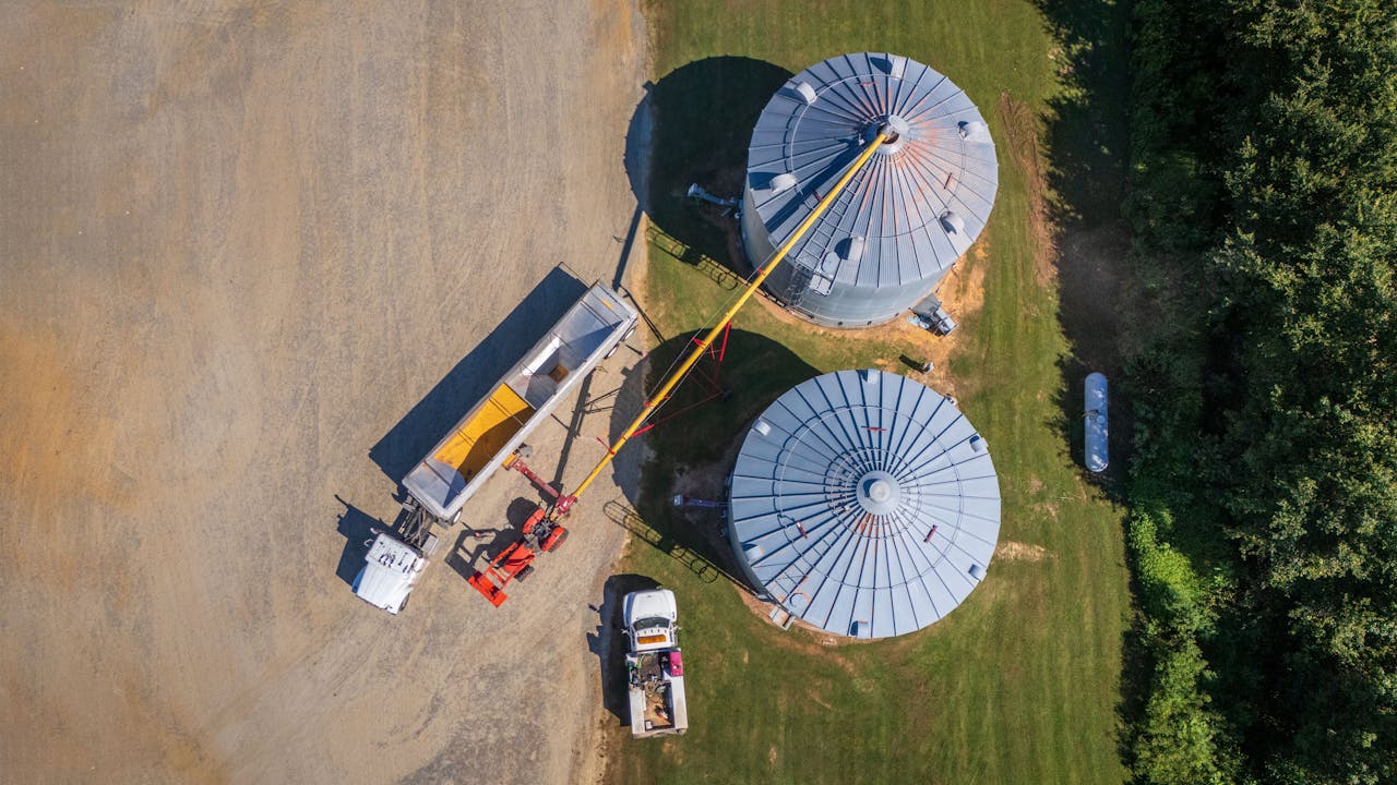

Managing land and agricultural property requires precision, clarity, and reliable data. At Air Aperture, we provide professional drone photography for land and agriculture surveys, giving landowners, farmers, and developers an accurate bird’s-eye view of their property. With our high-resolution aerial imagery, you can evaluate terrain, monitor crops, and understand property boundaries with unmatched detail.
Drone surveys offer a unique advantage over traditional inspections by capturing large areas quickly and efficiently. From wide farmland to remote plots, our aerial shots highlight soil conditions, irrigation patterns, crop health, and land usage. This helps farmers make informed decisions about resource allocation, while developers can assess site potential before planning projects.
Beyond agriculture, our services are also ideal for land documentation, property sales, and environmental assessments. Aerial images provide stakeholders with a clear, professional perspective that adds value to reports, proposals, and marketing materials.
Every survey is carefully planned to cover the property thoroughly, ensuring accurate and usable results. Our team operates with professionalism and complies with all FAA safety regulations, so you can trust the process is both reliable and secure.
👉 Since every property is different, contact us today to discuss your needs and receive a custom estimate.