Drone Job Categories
-
360° Panorama shots
-
3D Mapping
-
3D Modeling
-
Advertisement
-
Aerial Cinematic
-
Aerial Documentation
-

Aerial Inspections
-
Aerial Mapping
-

Aerial Photography
-
Aerial Videography
-

Building & Structural Inspections
-

Cinematography
-
Commercial
-
Commercial Aerial Services
-

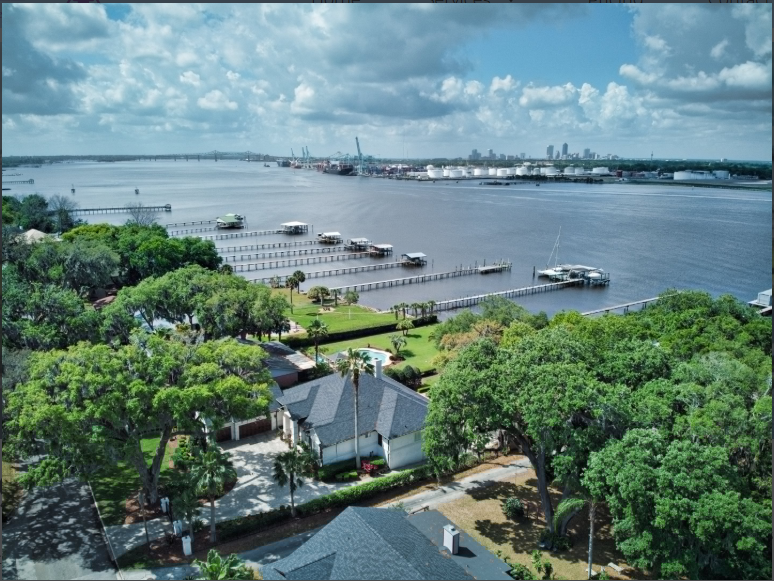
Commercial Real Estate
-

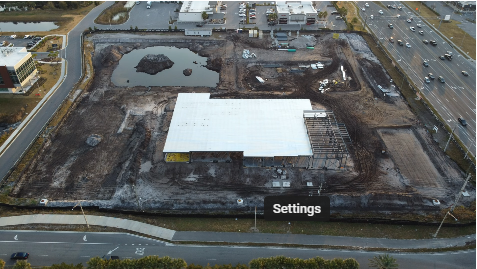
Construction Site Monitoring
-
Construction Site Monitring
-

Corporate Events
-
Drone Photography & Videography
-

Environmental & Conservation
-

Environmental Impact Studies
-
Industrial Photography
-

Infrastructure & Construction
-

Infrastructure Assessments
-
Inspection
-

Insurance Inspections
-
Interior Photography
-

Mapping & GIS
-
Orthomosaic Photos
-

Orthomosaics
-

Photogrammetry
-
Product Photography
-
Property Inspections
-

Real Estate Photography
-

Resort & Hotel Promotion
-

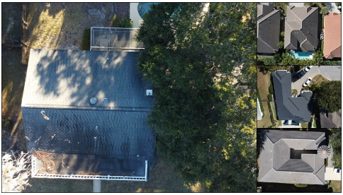
Roof Inspections
-
Sales-Oriented Drone Videography
-
Still Images
-

Surveys & Inspections
-

Vacant Land
-

Videography
-
Volumetric Analysis
Drone Certifications
-

FAA Part-107 Licensed Drone Pilot #4090399
Services


0 /5.0
User review
Starting from
$0.00
0 /5.0
User review
Starting from
$100.00
0 /5.0
User review
Starting from
$200.00
0 /5.0
User review
Starting from
$150.00

Experience
-
Professional Geologist (Environmental Consulting)