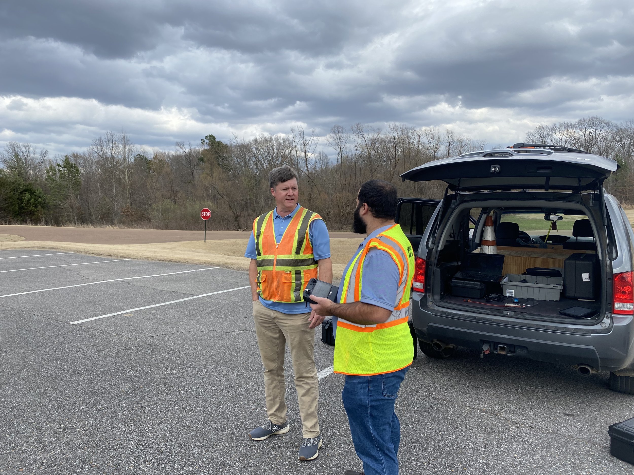
Midsouth Drone Services is a leader in providing the drone data you need. Whether it is professional imagery or highly accurate maps, we can provide the specific product that you need. We have extensive experience flying drones and doing professional photography. Accurate, relevant data can save you money, make you money, and make you more efficient. This meaningful data could include highly accurate digital surface maps, 3D models of a completed project, or thermal imagery to show water damage on roof tops.
We offer a variety of aerial mapping and photography services in the Midsouth, including LiDAR and Point Cloud data collection. If you have a special need and you think aerial imagery may save you money or improve your work flow, then please call us today so we can help!
Aerial Mapping
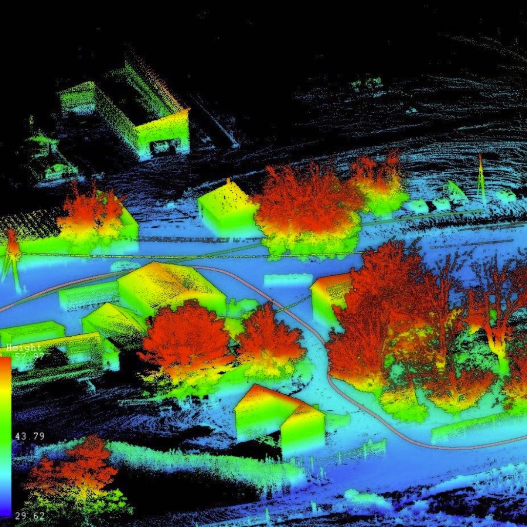
At the very core of our business is drone mapping. We provide highly accurate drone maps to builders, developers and surveyors. Our maps can include Ground Control Points depending on the accuracy level desired. Deliverables are provided in the requested format ready to use in your CAD software. We can provide Orthomosaic maps of the entire property, Digital Surface Models, Contours, and 3D Models. Accuracy is essential and MDS will provide the level you need and expect.
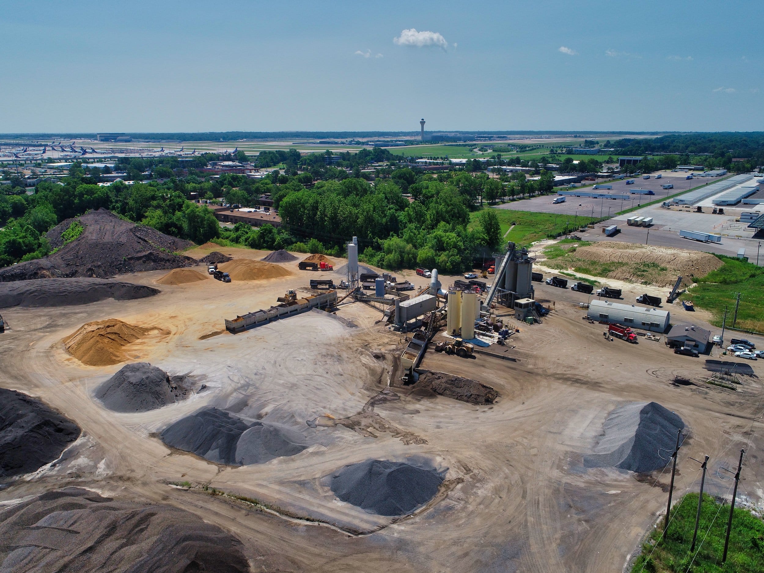
Inventory & Volume Measurements
Drones have become the number one tool for providing inventory of aggregate removed from or delivered to development site. We can provide accurate volume measurements of aggregate inventory removed or delivered to your development site.
Construction Progress
Drone imagery for constructions sites is used for many purposes. A few include Drone Mapping, Asset Inventory Management, and Progression Images. All of these can help save time and money by identifying problems early on. Job site imagery can be shared with investors, architects, and anyone else involved with the project but located many miles away.


 United States
 Mid-South Drone Services