Vacant Lot Footage Capture in Little Falls (Salisbury)
Completed
Job detail
I would like an aerial fly-over my property located in the pinned area. In particular I want to make sure no one has been illegally cutting down trees. I also want to make sure the lake isn’t filled with litter. It’s about 250 acres.
Any proposals are welcome. Travel fees will be considered.
- DIRECTIONS:
1) Where State Highway 29 meets State Highway 170A, head WEST.
2) Continue west for 0.25 miles
3) You’ve arrived. - ATTACHMENTS:
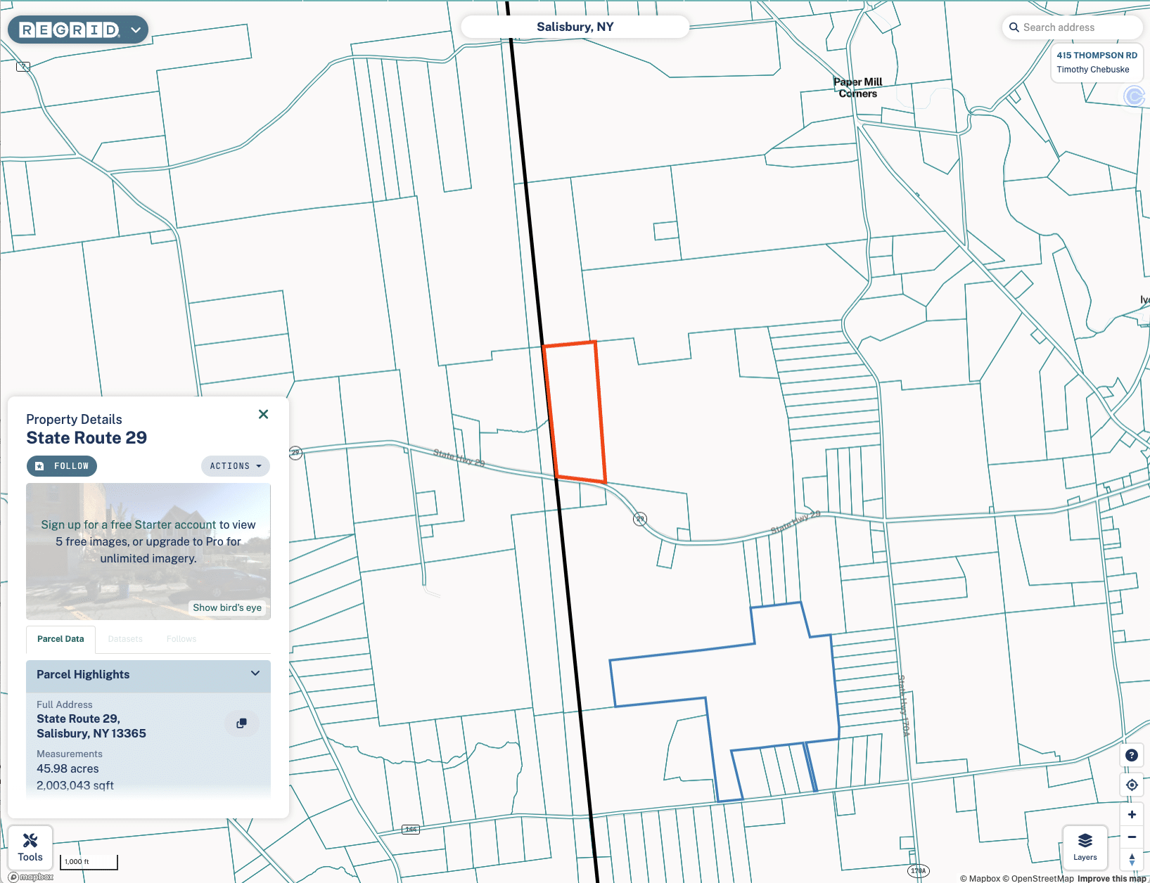
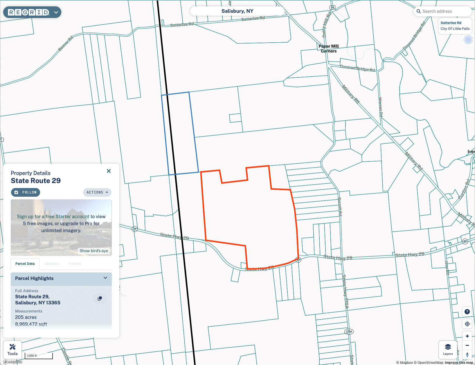
1) See below section for map files in PNG
2) See PDF files for Map Overlay with property lines
UPDATE (6/27): The property is spread over two lots in the images below.
Image 2: 
Image 2:


 Real Estate
  01-03 Hours
 Salisbury, New York
