

2D maps and 3D digital elevation models

Description
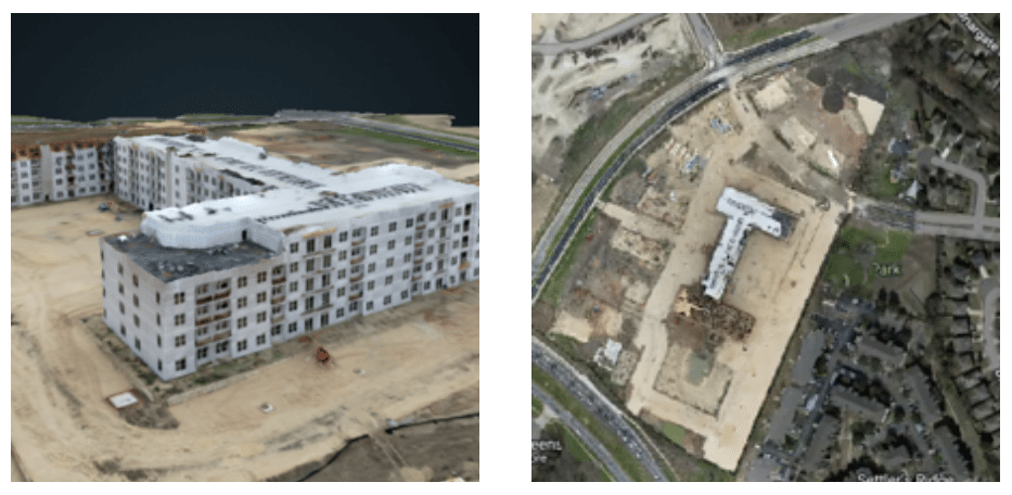
Our drones can produce sophisticated 2D maps and 3D digital elevation models that enable you to fill in imaging gaps left by satellite mapping with up-to-date data. Orthomosaic maps are created with a large number of overlapping photos covering a defined area. After capturing precise aerial imagery, we then use software to stitch the photos into orthomosaics.
Drone Services available in Temple Texas.
Temple, TX, USA Get Directions


